File:Gy-map.png
Jump to navigation
Jump to search
Size of this preview: 279 × 599 pixels. Other resolutions: 112 × 240 pixels | 329 × 706 pixels.
Original file (329 × 706 pixels, file size: 10 KB, MIME type: image/png)
Summary
| Description |
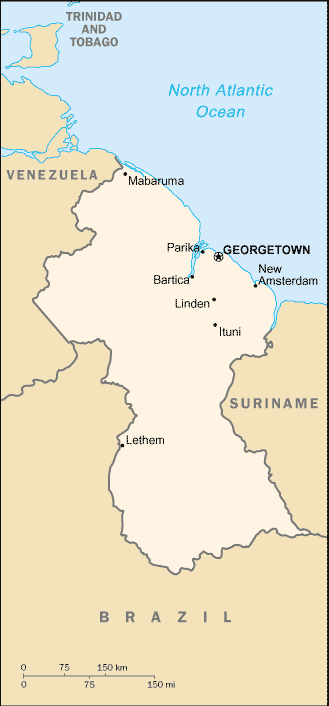
English: Map of Guyana from the 2002 CIA Factbook. |
| Date | |
| Source | CIA Factbook |
| Author | Central Intelligence Agency |
Licensing
This image is in the public domain because it contains materials that originally came from the United States Central Intelligence Agency's World Factbook.
|
 |
Original upload log
The original description page was here. All following user names refer to en.wikipedia.
- 2004-04-10 05:11 Bkell 329×706× (9979 bytes) compressed version
- 2003-04-13 11:19 Scipius 329×706× (10779 bytes) Map of Guyana from the 2002 CIA Factbook
File history
Click on a date/time to view the file as it appeared at that time.
| Date/Time | Thumbnail | Dimensions | User | Comment | |
|---|---|---|---|---|---|
| current | 00:06, 2 November 2011 | | 329 × 706 (10 KB) | commons>OgreBot | (BOT): Reverting to most recent version before archival |
File usage
There are no pages that use this file.