File:Greater london outline map bw.png
Jump to navigation
Jump to search
No higher resolution available.
Greater_london_outline_map_bw.png (600 × 500 pixels, file size: 199 KB, MIME type: image/png)

|
File:Greater London UK location map 2.svg is a vector version of this file. It should be used in place of this PNG file when not inferior.
File:Greater london outline map bw.png → File:Greater London UK location map 2.svg
For more information, see Help:SVG. |
 |
Summary
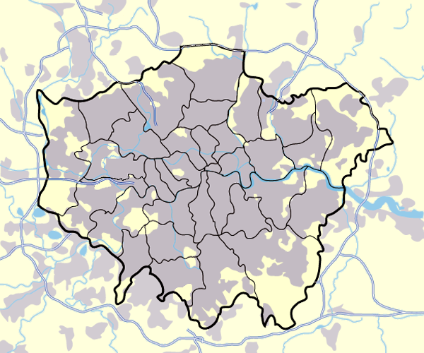
Image:Greater_london_outline_map.png showing built up areas in grey, motorways in blue, water-bodies in light-blue and London borough and county boundaries in black.
Based on a map originally by User:ChrisO.
Revised to correct motorways. DavidCane 19:42, 31 March 2007 (UTC)
Licensing

|
Permission is granted to copy, distribute and/or modify this document under the terms of the GNU Free Documentation License, Version 1.2 or any later version published by the Free Software Foundation; with no Invariant Sections, no Front-Cover Texts, and no Back-Cover Texts. A copy of the license is included in the section entitled GNU Free Documentation License. |
| This file is licensed under the Creative Commons Attribution-Share Alike 3.0 Unported license. | ||
| ||
| This licensing tag was added to this file as part of the GFDL licensing update. |
| Annotations | This image is annotated: View the annotations at Commons |
File history
Click on a date/time to view the file as it appeared at that time.
| Date/Time | Thumbnail | Dimensions | User | Comment | |
|---|---|---|---|---|---|
| current | 17:13, 11 March 2008 | | 600 × 500 (199 KB) | commons>Jza84 | slight alteration making the boundaries clearer between Newham and Barking and Dagenham - Ealing and Hounslow - and City of London and the City of Westminster |
File usage
There are no pages that use this file.