File:Greater London UK district map 2011-05-05 referendum.png
Jump to navigation
Jump to search
Size of this preview: 750 × 600 pixels. Other resolutions: 300 × 240 pixels | 600 × 480 pixels | 960 × 768 pixels | 1,280 × 1,024 pixels | 1,425 × 1,140 pixels.
Original file (1,425 × 1,140 pixels, file size: 315 KB, MIME type: image/png)
File history
Click on a date/time to view the file as it appeared at that time.
| Date/Time | Thumbnail | Dimensions | User | Comment | |
|---|---|---|---|---|---|
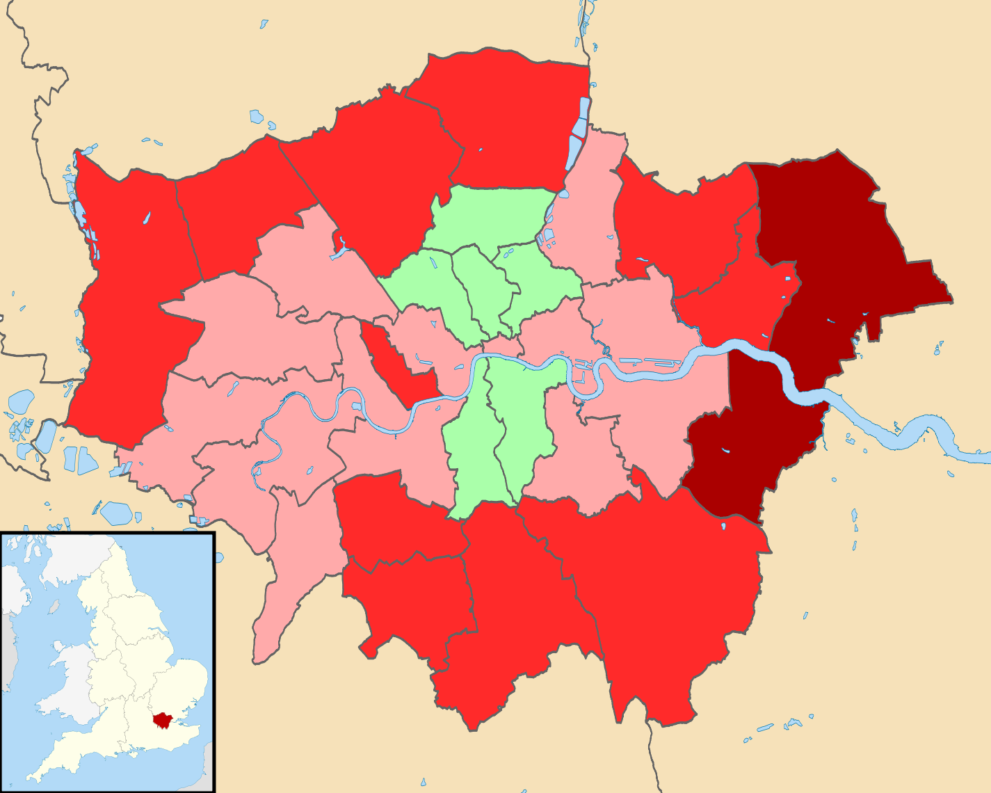
| current | 22:47, 6 May 2011 | | 1,425 × 1,140 (315 KB) | commons>Jeandré du Toit | {{Information |Description=Map of Greater London, UK with districts shown. Equirectangular map projection on WGS 84 datum, with N/S stretched 160% Geographic limits: *West: 0.57W *East: 0.37E *North: 51.72N *South: 51.25N |Source=*[ |
File usage
There are no pages that use this file.