File:Greater Geelong.png
Jump to navigation
Jump to search
Size of this preview: 408 × 599 pixels. Other resolutions: 163 × 240 pixels | 327 × 480 pixels | 697 × 1,024 pixels.
Original file (697 × 1,024 pixels, file size: 1.47 MB, MIME type: image/png)
File history
Click on a date/time to view the file as it appeared at that time.
| Date/Time | Thumbnail | Dimensions | User | Comment | |
|---|---|---|---|---|---|
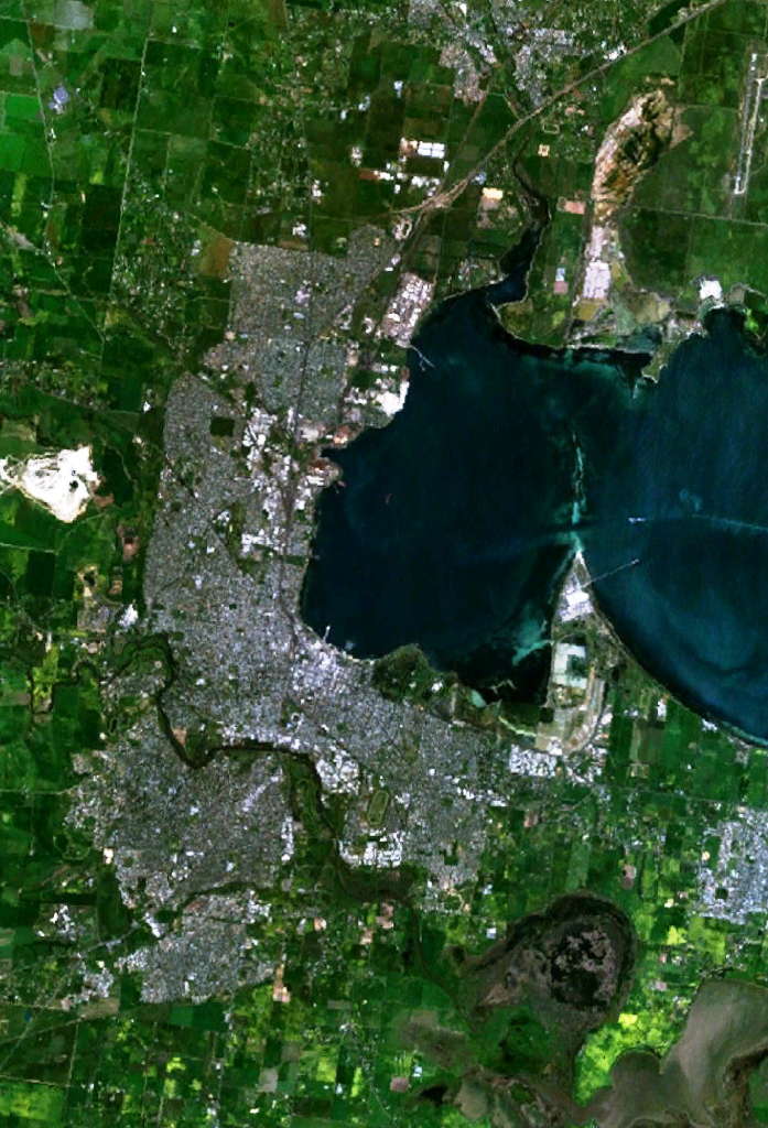
| current | 04:30, 30 December 2005 | | 697 × 1,024 (1.47 MB) | commons>Stephen Bain | w:Geelong, Victoria and suburbs, including Lara in the north, Grovedale in the south-west and Moolap in the south-east. The western end of Corio Bay, including Point Henry, is visible. {{PD-WorldWind}} |
File usage
There are no pages that use this file.