File:Great Ditch.JPG
Jump to navigation
Jump to search
Size of this preview: 800 × 338 pixels. Other resolutions: 320 × 135 pixels | 640 × 270 pixels | 1,517 × 640 pixels.
Original file (1,517 × 640 pixels, file size: 89 KB, MIME type: image/jpeg)
Summary
| Description |
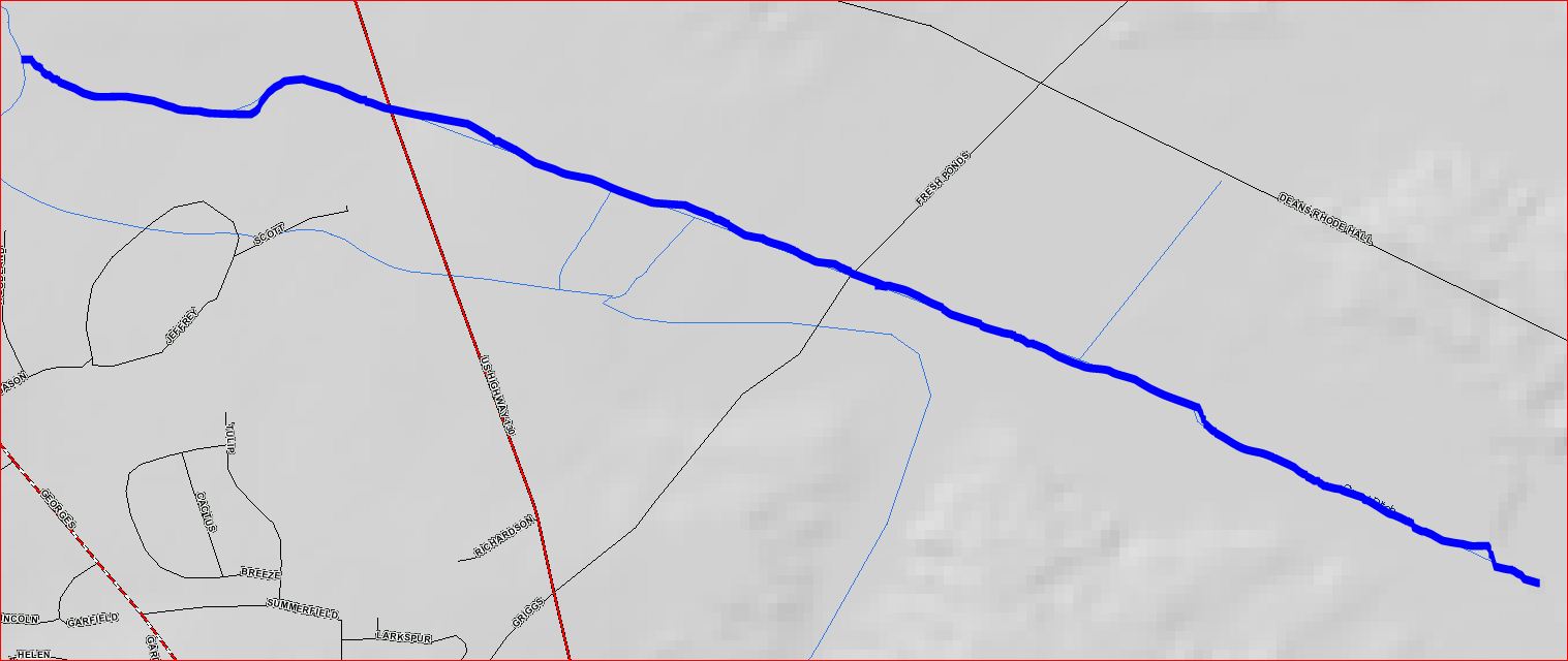
English: Map of Great Ditch |
| Date | |
| Source | USGS |
| Author | USGS |
| Permission (Reusing this file) |
Free USGS Maps |
Licensing
This image is in the public domain in the United States because it only contains materials that originally came from the United States Geological Survey, an agency of the United States Department of the Interior. For more information, see the official USGS copyright policy.
|
Original upload log
The original description page was here. All following user names refer to en.wikipedia.
Upload date | User | Bytes | Dimensions | Comment
- 2010-07-19 22:18 (UTC) | Chemicalinterest | 90713 (bytes) | 1517×640 | {{Information |Description = Map of [[Great Ditch]] |Source = USGS |Date = ~~~~~ |Author = USGS and ~~~ |Permission = Free USGS Maps |other_versions = none }}
File history
Click on a date/time to view the file as it appeared at that time.
| Date/Time | Thumbnail | Dimensions | User | Comment | |
|---|---|---|---|---|---|
| current | 09:13, 6 January 2012 | | 1,517 × 640 (89 KB) | commons>SreeBot | (Original text) : {{Information |Description = Map of Great Ditch |Source = USGS |Date = ~~~~~ |Author = USGS and ~~~ |Permission = Free USGS Maps |other_versions = none }} |
File usage
There are no pages that use this file.