File:GoughMap ca 1360.jpg
Jump to navigation
Jump to search

Size of this preview: 800 × 423 pixels. Other resolutions: 320 × 169 pixels | 640 × 339 pixels | 1,096 × 580 pixels.
Original file (1,096 × 580 pixels, file size: 168 KB, MIME type: image/jpeg)
File history
Click on a date/time to view the file as it appeared at that time.
| Date/Time | Thumbnail | Dimensions | User | Comment | |
|---|---|---|---|---|---|
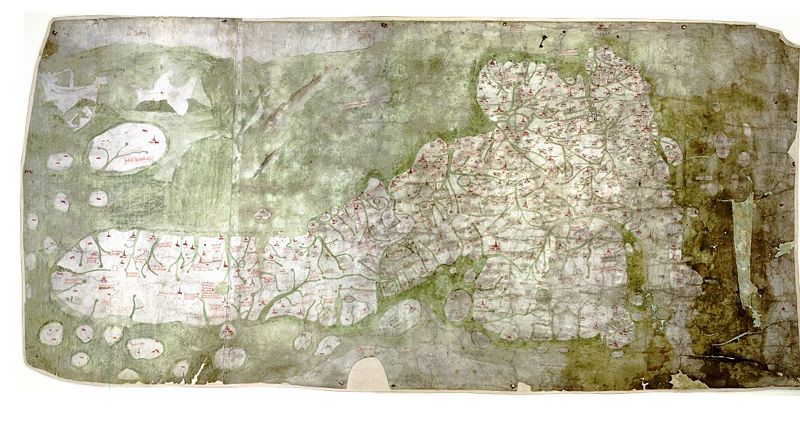
| current | 12:03, 7 May 2007 | | 1,096 × 580 (168 KB) | commons>Mauss | {{Information |Description=The Gough Map or Bodleian Map is a road map of Great Britain, dating from around 1360. |Source= |Date= |Author= |Permission=PD-old |other_versions= }} |
File usage
There are no pages that use this file.