File:Golden Triangel at Amphoe Chiang Saen.jpg
Jump to navigation
Jump to search
Size of this preview: 800 × 600 pixels. Other resolutions: 320 × 240 pixels | 640 × 480 pixels | 1,024 × 768 pixels | 1,280 × 960 pixels | 2,048 × 1,536 pixels.
Original file (2,048 × 1,536 pixels, file size: 921 KB, MIME type: image/jpeg)
Summary
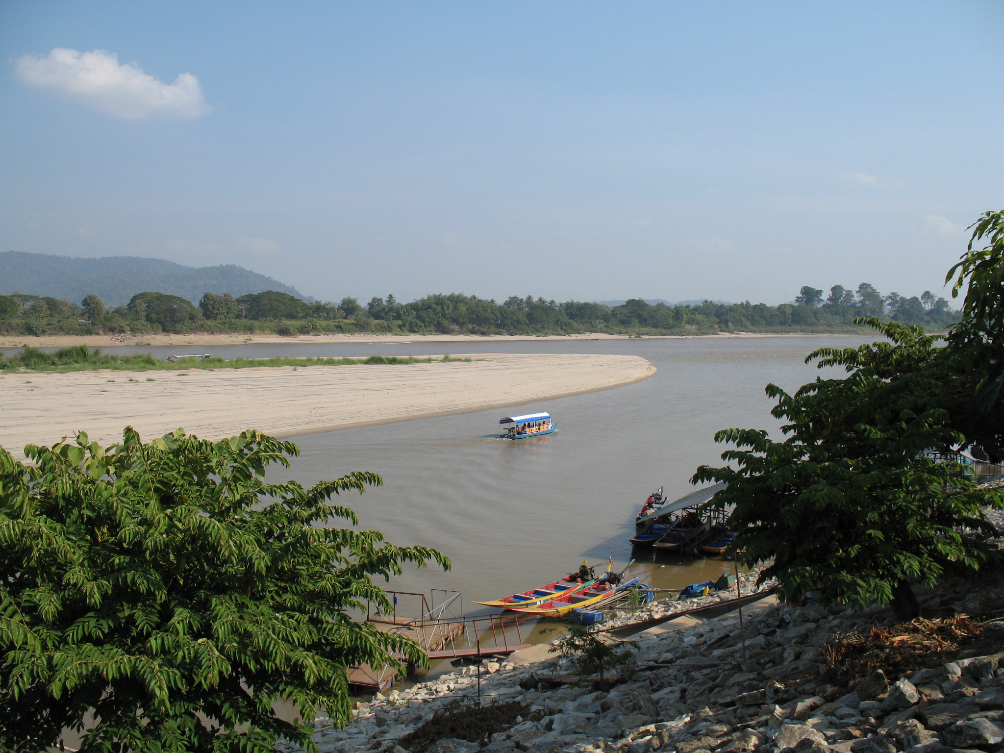
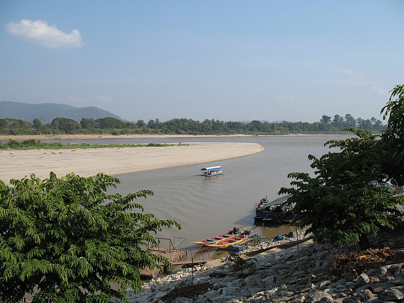
English: Ruak River — at The Golden Triangle, the point that its mouth meets the Mekong River, in Amphoe Chiang Saen, Chiang Rai Province — Thailand.
| Camera location | | View this and other nearby images on: OpenStreetMap |
|---|
Licensing
Originally uploaded to en: by en:User:Oatz
| I, the copyright holder of this work, release this work into the public domain. This applies worldwide. In some countries this may not be legally possible; if so: I grant anyone the right to use this work for any purpose, without any conditions, unless such conditions are required by law. |
File history
Click on a date/time to view the file as it appeared at that time.
| Date/Time | Thumbnail | Dimensions | User | Comment | |
|---|---|---|---|---|---|
| current | 11:44, 27 January 2007 | | 2,048 × 1,536 (921 KB) | commons>Oatz |
File usage
There are no pages that use this file.