File:Gilbert's Porth, South Pelistry Bay, St. Mary's - geograph.org.uk - 929289.jpg
Jump to navigation
Jump to search
No higher resolution available.
Gilbert's_Porth,_South_Pelistry_Bay,_St._Mary's_-_geograph.org.uk_-_929289.jpg (640 × 480 pixels, file size: 279 KB, MIME type: image/jpeg)
File history
Click on a date/time to view the file as it appeared at that time.
| Date/Time | Thumbnail | Dimensions | User | Comment | |
|---|---|---|---|---|---|
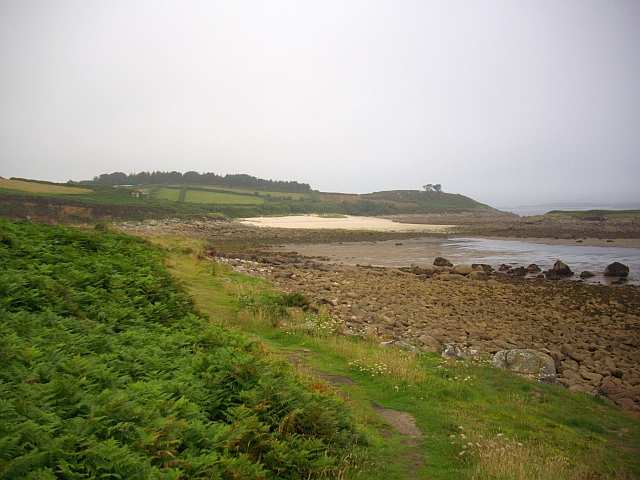
| current | 02:42, 22 February 2011 | | 640 × 480 (279 KB) | commons>GeographBot | == {{int:filedesc}} == {{Information |description={{en|1=Gilbert's Porth, South Pelistry Bay, St. Mary's The sand provides a tidal causeway to Toll's Island (on the right).}} |date=2008-08-05 |source=From [http://www.geograph.org.uk/photo/929289 geograph. |
File usage
There are no pages that use this file.