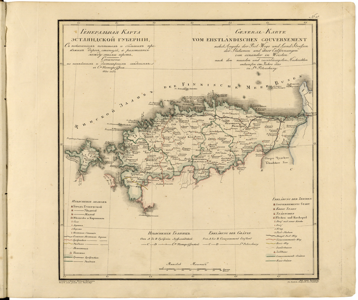
File:General Map of Estland Province- Showing Postal and Major Roads, Stations and the Distance in Versts Between Them. According to the Latest Verified Data, in St. Petersburg in 1820. WDL344.png
Jump to navigation
Jump to search
Size of this preview: 717 × 599 pixels. Other resolutions: 287 × 240 pixels | 574 × 480 pixels | 919 × 768 pixels | 1,225 × 1,024 pixels.
Original file (1,225 × 1,024 pixels, file size: 1.93 MB, MIME type: image/png)
File history
Click on a date/time to view the file as it appeared at that time.
| Date/Time | Thumbnail | Dimensions | User | Comment | |
|---|---|---|---|---|---|
| current | 14:49, 11 March 2014 | | 1,225 × 1,024 (1.93 MB) | commons>Fæ | =={{int:filedesc}}== {{Artwork |artist = |author ={{ru|1=Пядишев, Василий Петрович}} {{fr|1=Piadyshev, Vasiliĭ Petrovich}} {{en|1=Piadyshev, Vasiliĭ Petrovich}} {{zh|1=帕迪谢乌, 瓦西利·佩特罗维奇}} {{pt|1=Piadyshev,... |
File usage
There are no pages that use this file.