File:Garibaldi Lake and Mount Price topographical map.jpg
Jump to navigation
Jump to search

Size of this preview: 572 × 599 pixels. Other resolutions: 229 × 240 pixels | 458 × 480 pixels | 733 × 768 pixels | 977 × 1,024 pixels | 1,529 × 1,602 pixels.
Original file (1,529 × 1,602 pixels, file size: 2.47 MB, MIME type: image/jpeg)
Summary
| Description |
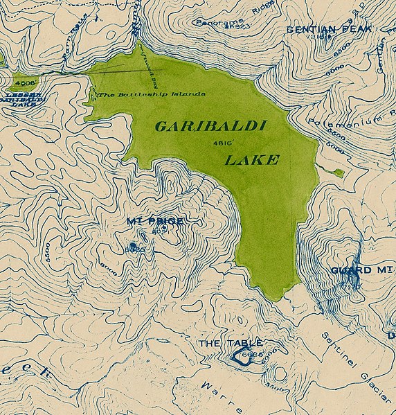
English: Topographical map of Garibaldi Lake and Mount Price |
| Date | |
| Source | Rotated and cropped from File:Topographical map of Garibaldi Provincial Park.jpg |
| Author | Vancouver BC Office of the City Engineer |
Licensing
| This file is made available under the Creative Commons CC0 1.0 Universal Public Domain Dedication. | |
| The person who associated a work with this deed has dedicated the work to the public domain by waiving all of their rights to the work worldwide under copyright law, including all related and neighboring rights, to the extent allowed by law. You can copy, modify, distribute and perform the work, even for commercial purposes, all without asking permission.
|
File history
Click on a date/time to view the file as it appeared at that time.
| Date/Time | Thumbnail | Dimensions | User | Comment | |
|---|---|---|---|---|---|
| current | 19:14, 16 April 2022 | | 1,529 × 1,602 (2.47 MB) | commons>Mike Christie | Uploaded a work by Vancouver BC Office of the City Engineer from Rotated and cropped from File:Topographical map of Garibaldi Provincial Park.jpg with UploadWizard |
File usage
There are no pages that use this file.