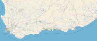
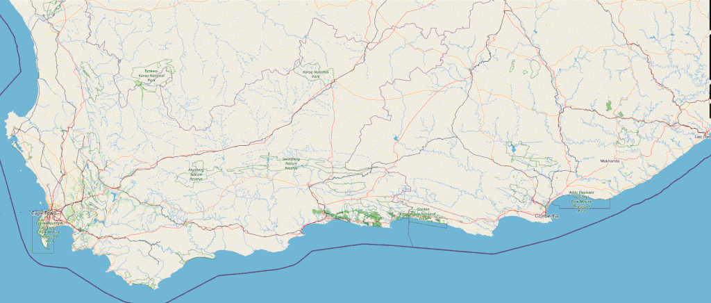
File:Gardenroute overview.gif
Jump to navigation
Jump to search

Size of this preview: 800 × 340 pixels. Other resolutions: 320 × 136 pixels | 640 × 272 pixels | 1,024 × 436 pixels | 1,855 × 789 pixels.
Original file (1,855 × 789 pixels, file size: 447 KB, MIME type: image/gif)
Summary
| Description |
English: Map showing the area around the Garden Route in the Republic of South Africa Afrikaans: kaart van de Tuinroete |
| Date | |
| Source | http://www.openstreetmap.org/?mlat=46.633333&mlon=14.15&zoom=12&layers=M |
| Author | OpenStreetMap |
The image includes Cape Town and the names Western Cape and Eastern Cape to better show the location of the Garden Route.
Licensing
This file is licensed under the Creative Commons Attribution-Share Alike 2.5 Generic license.
- You are free:
- to share – to copy, distribute and transmit the work
- to remix – to adapt the work
- Under the following conditions:
- attribution – You must give appropriate credit, provide a link to the license, and indicate if changes were made. You may do so in any reasonable manner, but not in any way that suggests the licensor endorses you or your use.
- share alike – If you remix, transform, or build upon the material, you must distribute your contributions under the same or compatible license as the original.
File history
Click on a date/time to view the file as it appeared at that time.
| Date/Time | Thumbnail | Dimensions | User | Comment | |
|---|---|---|---|---|---|
| current | 22:42, 13 April 2024 | | 1,855 × 789 (447 KB) | commons>JMK | adjust colour |
File usage
There are no pages that use this file.