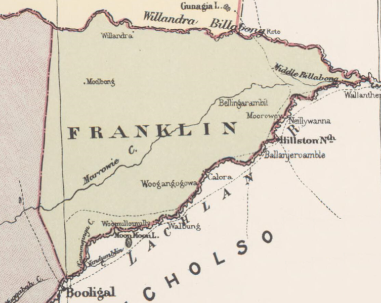
File:Franklin County in John Sands 1886 map.png
Jump to navigation
Jump to search

Size of this preview: 753 × 600 pixels. Other resolutions: 301 × 240 pixels | 603 × 480 pixels | 777 × 619 pixels.
Original file (777 × 619 pixels, file size: 603 KB, MIME type: image/png)
File history
Click on a date/time to view the file as it appeared at that time.
| Date/Time | Thumbnail | Dimensions | User | Comment | |
|---|---|---|---|---|---|
| current | 01:42, 21 June 2018 | | 777 × 619 (603 KB) | commons>D A R C 12345 | User created page with UploadWizard |
File usage
There are no pages that use this file.