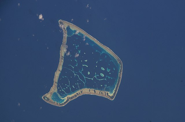
File:Fakaofo Satellite NASA.jpg
Jump to navigation
Jump to search

Size of this preview: 800 × 529 pixels. Other resolutions: 320 × 212 pixels | 640 × 423 pixels | 1,024 × 677 pixels | 1,280 × 846 pixels | 3,032 × 2,004 pixels.
Original file (3,032 × 2,004 pixels, file size: 540 KB, MIME type: image/jpeg)
Summary
| Description | |
| Date | |
| Source |
|
| Author | NASA Johnson Space Center |
| Object location | | View this and other nearby images on: OpenStreetMap |
|---|
This image or video was catalogued by one of the centers of the United States National Aeronautics and Space Administration (NASA) under Photo ID: ISS006-E-39657. This tag does not indicate the copyright status of the attached work. A normal copyright tag is still required. See Commons:Licensing. Other languages:
|
Licensing
| This file is in the public domain in the United States because it was solely created by NASA. NASA copyright policy states that "NASA material is not protected by copyright unless noted". (See Template:PD-USGov, NASA copyright policy page or JPL Image Use Policy.) | ||
 |
Warnings:
|

|
This image has been assessed under the valued image criteria and is considered the most valued image on Commons within the scope: Fakaofo atoll, Tokelau - satellite view. You can see its nomination here. |
File history
Click on a date/time to view the file as it appeared at that time.
| Date/Time | Thumbnail | Dimensions | User | Comment | |
|---|---|---|---|---|---|
| current | 00:07, 18 December 2014 | | 3,032 × 2,004 (540 KB) | commons>Fundatus | Removed caption |
File usage
There are no pages that use this file.