File:FR-HBF 028.jpg

Original file (4,532 × 2,543 pixels, file size: 1.26 MB, MIME type: image/jpeg)
| Description |
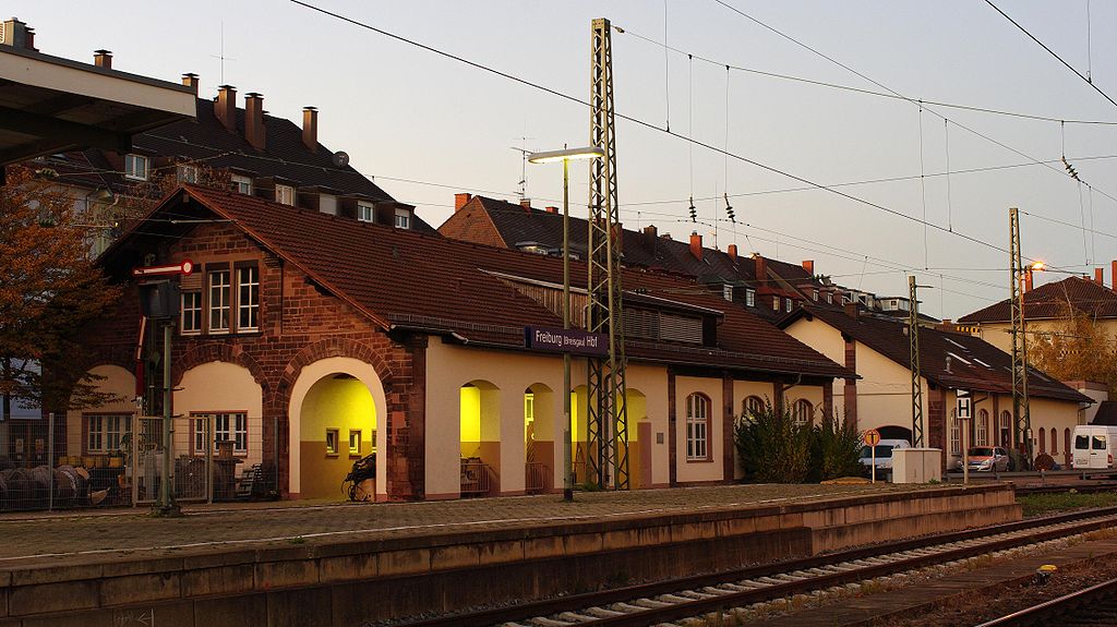
Deutsch: Die beiden alten Wagenhallen, die heute als Materiallager benutzt werden, von Gleis 5 gesehen |
| Date | |
| Source | Own work |
| Author | user:Joergens.mi |
| Camera location | | View this and other nearby images on: OpenStreetMap |
|---|

![]() I have published this image as author Joergens.mi under the "CC-BY-SA-3.0" in Wikipedia. This means that free, commercial usage outside of Wikipedia is permitted under the following licence terms:
I have published this image as author Joergens.mi under the "CC-BY-SA-3.0" in Wikipedia. This means that free, commercial usage outside of Wikipedia is permitted under the following licence terms:
- Online media:
- The author „Joergens.mi/Wikipedia“ is named
- A weblink to the original image is provided: //commons.wikimedia.org/wiki/File:FR-HBF_028.jpg
- A copy of, or the Uniform Resource Identifier (https://creativecommons.org/licenses/by-sa/3.0/de/legalcode) for, this License with every copy
- Print media:
- The author „Joergens.mi/Wikipedia“ is named
- A copy of, or the Uniform Resource Identifier (https://creativecommons.org/licenses/by-sa/3.0/de/legalcode) for, this License with every copy
Please send me a specimen copy or the URL of the website where the image is used.
Please write an email to Joergens.mi-at-googlemail.com, if you
- need the image in a higher resolution
- need my postal address for sending a specimen copy
- have further questions about the terms of the licence
This license and the rights granted hereunder will terminate automatically upon any breach by you of the terms of this license. In this case the author reserves to demand declaration to cease and desist, and at least compensation (according to the MFM fee references currently in force).
Any of the above conditions can be waived if you get permission from the copyright holder.
|
This file is copyrighted and has been released under licenses which are incompatible with Facebook's licensing terms. Therefore, it is not permitted to upload this file to Facebook. |
- You are free:
- to share – to copy, distribute and transmit the work
- to remix – to adapt the work
- Under the following conditions:
- attribution – You must give appropriate credit, provide a link to the license, and indicate if changes were made. You may do so in any reasonable manner, but not in any way that suggests the licensor endorses you or your use.
- share alike – If you remix, transform, or build upon the material, you must distribute your contributions under the same or compatible license as the original.
| Attribution (required by the license) | Prefered credits: Online: Photo: © Jörgens.Mi/Wikipedia, Licence: CC-BY-SA 3.0, Source: Wikimedia Commons |
File history
Click on a date/time to view the file as it appeared at that time.
| Date/Time | Thumbnail | Dimensions | User | Comment | |
|---|---|---|---|---|---|
| current | 14:43, 7 November 2009 | | 4,532 × 2,543 (1.26 MB) | commons>Cropbot | upload cropped version, operated by User:Flominator. Summary: cropped |
File usage
There are no pages that use this file.