File:Erromangomap.png
Jump to navigation
Jump to search
No higher resolution available.
Erromangomap.png (545 × 504 pixels, file size: 6 KB, MIME type: image/png)
File history
Click on a date/time to view the file as it appeared at that time.
| Date/Time | Thumbnail | Dimensions | User | Comment | |
|---|---|---|---|---|---|
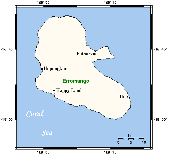
| current | 16:56, 28 June 2006 | | 545 × 504 (6 KB) | commons>Abu-Dun | From the english Wikipedia: Map of Erromango in Vanuatu with main centres. This map's source is [http://www.aquarius.geomar.de/omc/make_map.html here], with the uploader's modifications, and the [http://gmt.soest.hawaii.edu/ GMT homepage] says that the t |
File usage
There are no pages that use this file.