File:Ephesos overall plan.svg
Jump to navigation
Jump to search

Size of this PNG preview of this SVG file: 750 × 358 pixels. Other resolutions: 320 × 153 pixels | 640 × 305 pixels | 1,024 × 489 pixels | 1,280 × 611 pixels | 2,560 × 1,222 pixels.
Original file (SVG file, nominally 750 × 358 pixels, file size: 614 KB)
File history
Click on a date/time to view the file as it appeared at that time.
| Date/Time | Thumbnail | Dimensions | User | Comment | |
|---|---|---|---|---|---|
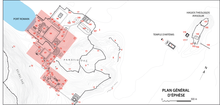
| current | 17:14, 20 April 2008 | | 750 × 358 (614 KB) | commons>Marsyas | {{Information |Description=Historical topography of Ephesos. Geographical data from P. Scherrer (ed.), ''Ephesos, The New Guide'', Selçuk, 2000. |Source=self-made |Date=2008.04.13 |Author= Marsyas |Permission= |other_versions= }} == [[C |
File usage
There are no pages that use this file.