File:English Channel location map.svg

Original file (SVG file, nominally 955 × 665 pixels, file size: 178 KB)
Summary
| Description |
Deutsch: Positionskarte der Ärmelkanals
Quadratische Plattkarte, N-S-Streckung 155 %. Geographische Begrenzung der Karte:
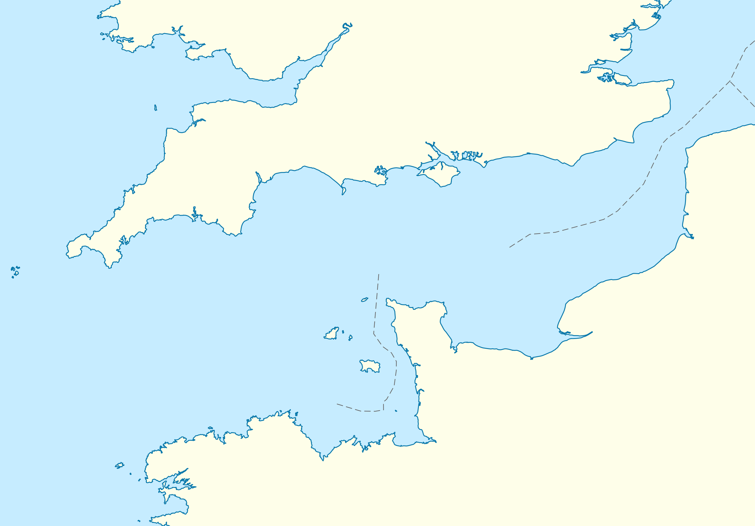
English: Location map of the English Channel
Equirectangular projection, N/S stretching 155 %. Geographic limits of the map:
|
|
| Date | ||
| Source | own work, using United States National Imagery and Mapping Agency data | |
| Author | NordNordWest | |
| Permission (Reusing this file) |
This file is licensed under the Creative Commons Attribution-Share Alike 3.0 Germany license.
 This file is licensed under the Creative Commons Attribution-Share Alike 3.0 Unported license.
|
|
| Other versions | Derivative works of this file: Condor ferries route map.svg |


|
This map has been made or improved in the German Kartenwerkstatt (Map Lab). You can propose maps to improve as well.
|
File history
Click on a date/time to view the file as it appeared at that time.
| Date/Time | Thumbnail | Dimensions | User | Comment | |
|---|---|---|---|---|---|
| current | 16:55, 1 October 2010 | | 955 × 665 (178 KB) | commons>NordNordWest | upd |
File usage
There are no pages that use this file.