File:Eastern New Guinea and New Britain 1944.jpg
Jump to navigation
Jump to search

Size of this preview: 759 × 599 pixels. Other resolutions: 304 × 240 pixels | 608 × 480 pixels | 972 × 768 pixels | 1,161 × 917 pixels.
Original file (1,161 × 917 pixels, file size: 95 KB, MIME type: image/jpeg)
File history
Click on a date/time to view the file as it appeared at that time.
| Date/Time | Thumbnail | Dimensions | User | Comment | |
|---|---|---|---|---|---|
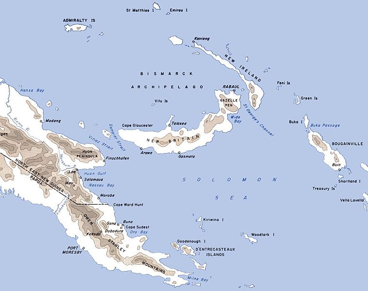
| current | 10:20, 17 June 2011 | | 1,161 × 917 (95 KB) | commons>Nick-D | {{Information |Description=Map of eastern New Guinea, New Britain, New Island and neighbouring islands with locations of importance in World War II marked |Source=*File:CartwheelAreaMap.jpg |Date=2011-06-17 10:18 (UTC) |Author=United States Army Cen |
File usage
There are no pages that use this file.