File:Eastern KY around 1820.png
Jump to navigation
Jump to search
No higher resolution available.
Eastern_KY_around_1820.png (291 × 480 pixels, file size: 66 KB, MIME type: image/png)
File history
Click on a date/time to view the file as it appeared at that time.
| Date/Time | Thumbnail | Dimensions | User | Comment | |
|---|---|---|---|---|---|
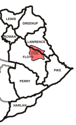
| current | 16:09, 6 June 2007 | | 291 × 480 (66 KB) | commons>HiB2Bornot2B | Political map of Eastern KY around 1820, showing what became Johnson County in pink. |
File usage
There are no pages that use this file.