File:EasternNewOrleansLandsat.jpg
Jump to navigation
Jump to search

Size of this preview: 800 × 437 pixels. Other resolutions: 320 × 175 pixels | 640 × 350 pixels | 1,318 × 720 pixels.
Original file (1,318 × 720 pixels, file size: 512 KB, MIME type: image/jpeg)
File history
Click on a date/time to view the file as it appeared at that time.
| Date/Time | Thumbnail | Dimensions | User | Comment | |
|---|---|---|---|---|---|
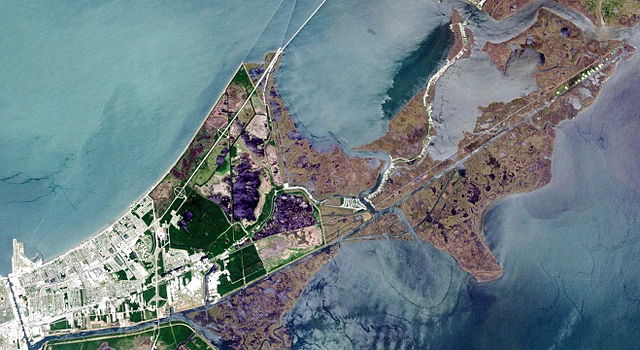
| current | 19:45, 16 April 2006 | | 1,318 × 720 (512 KB) | commons>Infrogmation | Eastern New Orleans as seen from space. Cropped from NASA Landsat image. Industrial Canal at runs vertically (roughly north-south) at bottom left. At top left is Lake Pontchartrain. Lakefront Airport is peninsula at left. Gulf Intracoastal Wa |
File usage
There are no pages that use this file.