File:Dunkirk New York aerial view.jpg
Jump to navigation
Jump to search
Size of this preview: 800 × 562 pixels. Other resolutions: 320 × 225 pixels | 640 × 449 pixels | 1,024 × 719 pixels | 1,280 × 899 pixels | 1,500 × 1,053 pixels.
Original file (1,500 × 1,053 pixels, file size: 703 KB, MIME type: image/jpeg)
| Description |
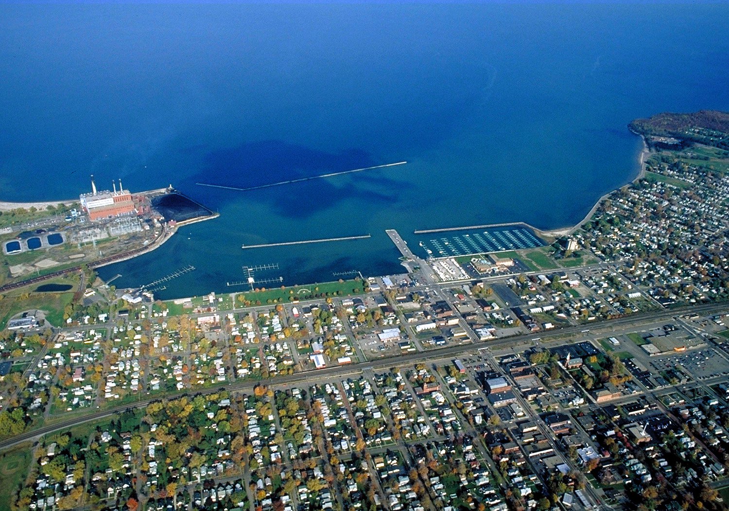
English: Aerial view of Dunkirk, New York, USA. View is to the north over Lake Erie. The large Niagara Mohak power plant can be seen at left. |
|||
| Date | ||||
| Source |
U.S. Army Corps of Engineers Digital Visual Library Image page Image description page Digital Visual Library home page |
|||
| Author | Ken Winters, U.S. Army Corps of Engineers | |||
| Permission (Reusing this file) |
|
|||
| Location | Dunkirk, New York, USA |
| Camera location | | View this and other nearby images on: OpenStreetMap |
|---|
File history
Click on a date/time to view the file as it appeared at that time.
| Date/Time | Thumbnail | Dimensions | User | Comment | |
|---|---|---|---|---|---|
| current | 06:40, 31 March 2007 | | 1,500 × 1,053 (703 KB) | commons>DanMS | {{Information | Description = {{en|Aerial view of Dunkirk, New York, USA. View is to the north over Lake Erie. The large Niagara Mohak power plant can be seen at left.}} | Source = U.S. Army Corps of Engineers Digital Visual Library<br />[http: |
File usage
There are no pages that use this file.