File:Dubawnt Lake.jpg
Jump to navigation
Jump to search

Size of this preview: 509 × 599 pixels. Other resolutions: 204 × 240 pixels | 408 × 480 pixels | 730 × 859 pixels.
Original file (730 × 859 pixels, file size: 239 KB, MIME type: image/jpeg)
Summary
| Camera location | | View this and other nearby images on: OpenStreetMap |
|---|
| Description |
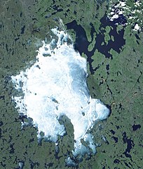
Français : Lac Dubawnt, Nunavut |
| Date | |
| Source | Nasa WorldWind |
| Author | NASA |
Licensing
| This image is in the public domain because it is a screenshot from NASA’s globe software World Wind using a public domain layer, such as Blue Marble, MODIS, Landsat, SRTM, USGS or GLOBE.
|
 |
File history
Click on a date/time to view the file as it appeared at that time.
| Date/Time | Thumbnail | Dimensions | User | Comment | |
|---|---|---|---|---|---|
| current | 02:51, 11 December 2011 | | 730 × 859 (239 KB) | commons>SamuelFreli |
File usage
There are no pages that use this file.