File:Dorian 2013 path.png
Jump to navigation
Jump to search
Size of this preview: 800 × 494 pixels. Other resolutions: 320 × 198 pixels | 640 × 395 pixels | 1,024 × 633 pixels | 1,280 × 791 pixels | 2,700 × 1,668 pixels.
Original file (2,700 × 1,668 pixels, file size: 1.72 MB, MIME type: image/png)
File history
Click on a date/time to view the file as it appeared at that time.
| Date/Time | Thumbnail | Dimensions | User | Comment | |
|---|---|---|---|---|---|
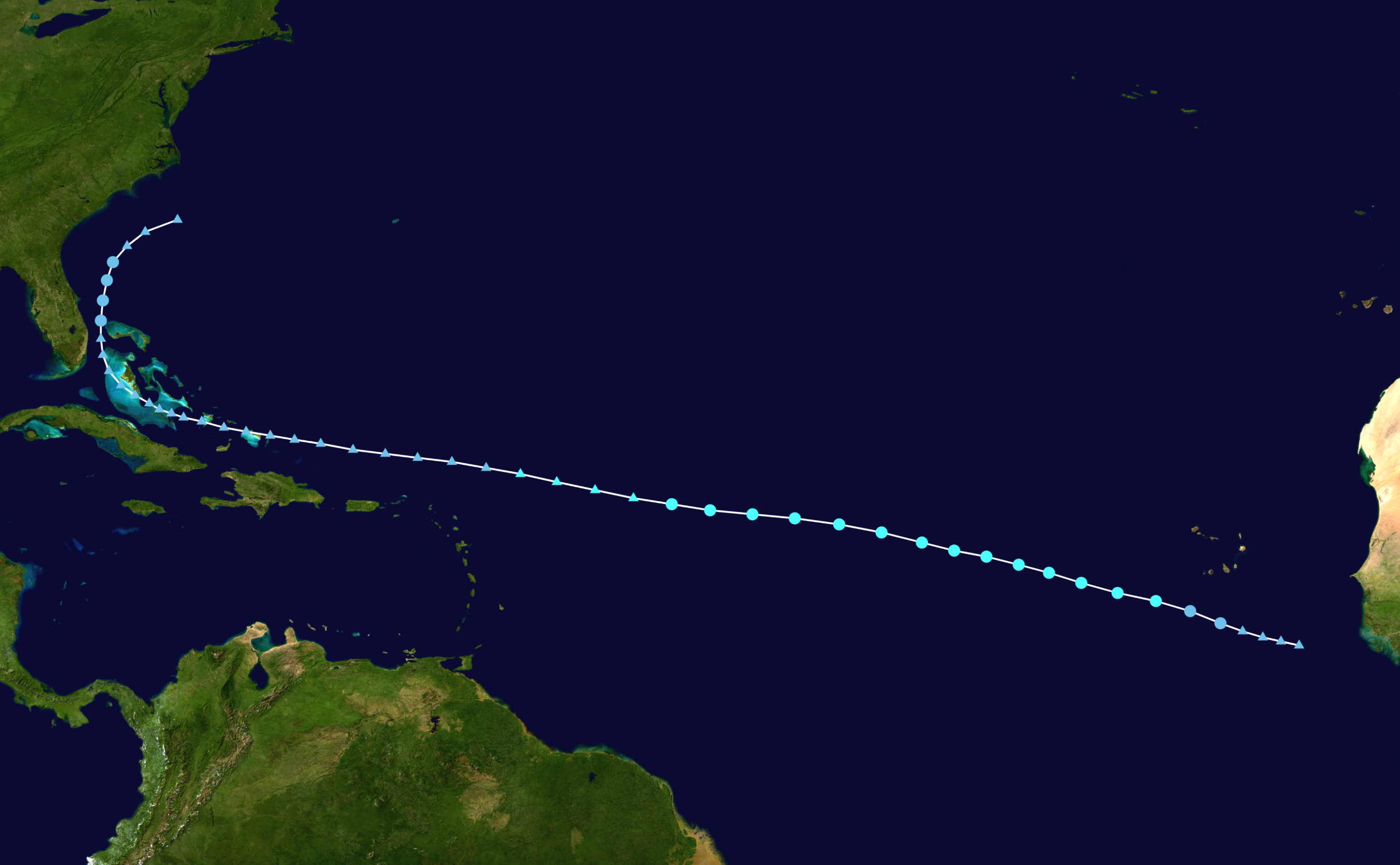
| current | 16:50, 1 March 2024 | | 2,700 × 1,668 (1.72 MB) | commons>2003 LN6 | {{WPTC track map | author = 2003 LN6 | name = Tropical Storm Dorian | article = 2013 Atlantic hurricane season#Tropical Storm Dorian | season = 2013 Atlantic hurricane season | start = 2013-07-22 |colors=new | end = 2013-08-04 | source=NHC | catname=Tropical Storm Dorian (2013) | code=/track --format atcf --input ../data/2013/btk/bal042013.dat --output ../png/Dorian_2013_track.png --extra 1 --res 2000 AL042013, DORIAN, 51, 20130722, 1800, , LO, 11.3N, 20.0W, 25, 1... |
File usage
There are no pages that use this file.