File:Denmark Zealand location map (da).svg
Jump to navigation
Jump to search

Size of this PNG preview of this SVG file: 361 × 600 pixels. Other resolutions: 144 × 240 pixels | 289 × 480 pixels | 462 × 768 pixels | 616 × 1,024 pixels | 1,233 × 2,048 pixels | 602 × 1,000 pixels.
Original file (SVG file, nominally 602 × 1,000 pixels, file size: 249 KB)
.svg)
File history
Click on a date/time to view the file as it appeared at that time.
| Date/Time | Thumbnail | Dimensions | User | Comment | |
|---|---|---|---|---|---|
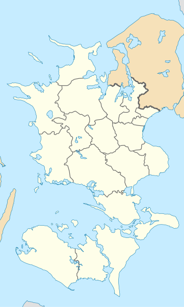
| current | 13:19, 13 January 2010 | | 602 × 1,000 (249 KB) | commons>Erik Frohne | == {{int:filedesc}} == {{Information |Description={{en|1=Location map of Region Zealand in Denmark, color adjusted Equirectangular projection, N/S stretching 176 %. Geographic limits of the map: * N: 56.20° N * S: 54.50° N * W: 10.80° E * E: 12.60° |
File usage
There are no pages that use this file.
.svg)