File:DMJ Pick Bridge.jpg
Jump to navigation
Jump to search

Size of this preview: 474 × 599 pixels. Other resolutions: 190 × 240 pixels | 380 × 480 pixels | 608 × 768 pixels | 810 × 1,024 pixels | 1,621 × 2,048 pixels | 3,684 × 4,654 pixels.
Original file (3,684 × 4,654 pixels, file size: 2.36 MB, MIME type: image/jpeg)
|
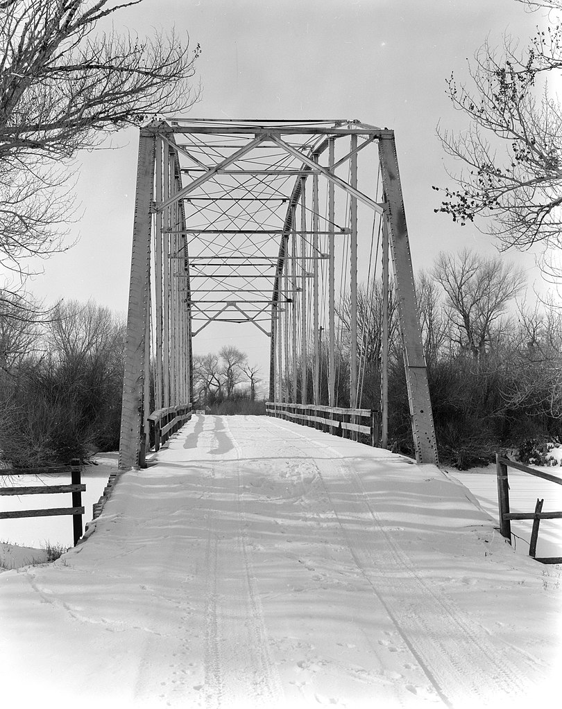
This is an image of a place or building that is listed on the National Register of Historic Places in the United States of America. Its reference number is 85000418. |
| Camera location | | View this and other nearby images on: OpenStreetMap |
|---|
| Description |
English: Eastern end of the DMJ Pick Bridge, which carries Pick Bridge Road (County Road CN6-508) over the North Platte River near Saratoga in Carbon County, Wyoming, United States. Built in 1909, this Parker through truss bridge is listed on the National Register of Historic Places. |
||||
| Date | |||||
| Source |
Library of Congress, Prints and Photograph Division HAER: WYO,4-SARAT.V,1-2
|
||||
| Author | Clayton B. Fraser | ||||
| Permission (Reusing this file) |
|

File history
Click on a date/time to view the file as it appeared at that time.
| Date/Time | Thumbnail | Dimensions | User | Comment | |
|---|---|---|---|---|---|
| current | 15:57, 27 April 2009 | | 3,684 × 4,654 (2.36 MB) | commons>Martin H. | High res; cropped |
File usage
There are no pages that use this file.