File:Cornwall outline map with UK.png
Jump to navigation
Jump to search

Size of this preview: 758 × 600 pixels. Other resolutions: 303 × 240 pixels | 607 × 480 pixels | 971 × 768 pixels | 1,280 × 1,013 pixels | 1,351 × 1,069 pixels.
Original file (1,351 × 1,069 pixels, file size: 121 KB, MIME type: image/png)
Summary
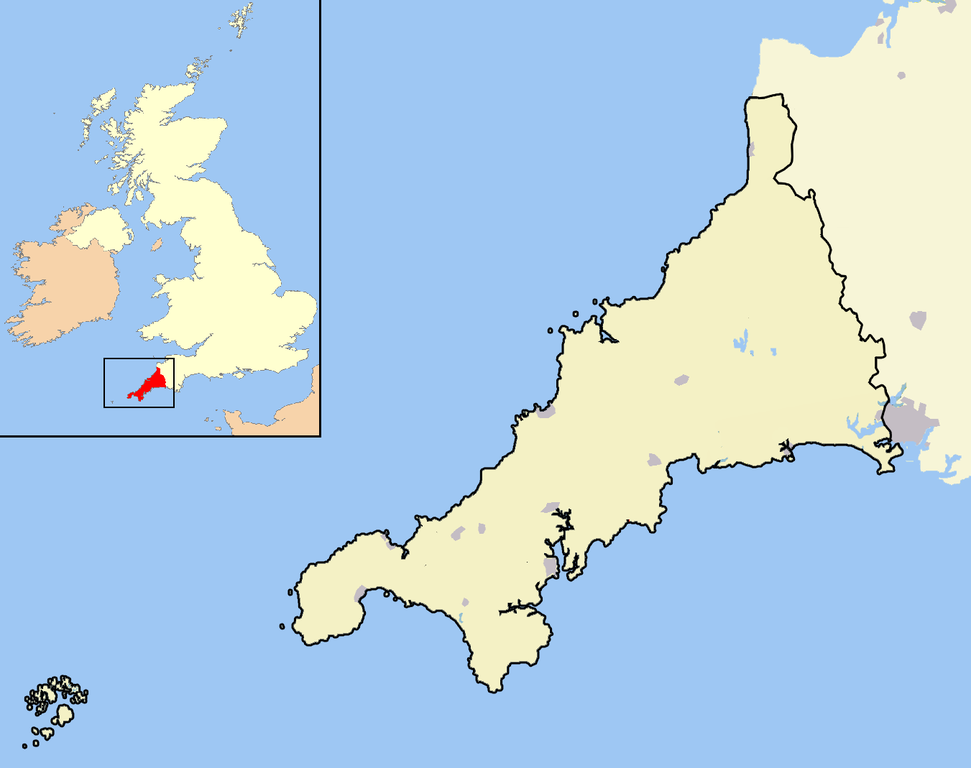
| Description | A map of the county of Cornwall, England, United Kingdom, showing the post-2009 district boundaries. |
| Date | |
| Source | Own work |
| Author | Jhamez84 |
Licensing
| I, the copyright holder of this work, release this work into the public domain. This applies worldwide. In some countries this may not be legally possible; if so: I grant anyone the right to use this work for any purpose, without any conditions, unless such conditions are required by law. |
File history
Click on a date/time to view the file as it appeared at that time.
| Date/Time | Thumbnail | Dimensions | User | Comment | |
|---|---|---|---|---|---|
| current | 15:17, 5 April 2009 | | 1,351 × 1,069 (121 KB) | commons>Warofdreams |
File usage
There are no pages that use this file.