File:Clara Massaria.jpg
![File:Clara Massaria.jpg](https://upload.wikimedia.org/wikipedia/commons/thumb/0/02/Clara_Massaria.jpg/560px-Clara_Massaria.jpg)
Original file (687 × 735 pixels, file size: 362 KB, MIME type: image/jpeg)
This file is from a shared repository and may be used by other projects. The description on its file description page there is shown below.
Summary
DescriptionClara Massaria.jpg |
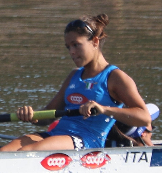
English: Clara Massaria |
|||||||||||||
Date | ||||||||||||||
Source | Own work | |||||||||||||
Author | Martin Rulsch, Wikimedia Commons | |||||||||||||
Permission (Reusing this file) |
I, the copyright holder of this work, hereby publish it under the following license: ![]() ![]() ![]() This file is licensed under the Creative Commons Attribution-Share Alike 4.0 International license. Attribution: Martin Rulsch, Wikimedia Commons, CC BY-SA 4.0
|
|||||||||||||
Other versions |
|
Camera location | 50° 26′ 52.09″ N, 14° 19′ 21.83″ E ![]() | View this and other nearby images on: OpenStreetMap | ![]() |
---|
Captions
Items portrayed in this file
depicts
9 August 2018
50°26'52.091"N, 14°19'21.828"E
0.002 second
6.3
400 millimetre
200
image/jpeg
411191fdc3f3d1ff4e266261c547c0bfd1afcb87
370,226 byte
735 pixel
687 pixel
File history
Click on a date/time to view the file as it appeared at that time.
Date/Time | Thumbnail | Dimensions | User | Comment | |
---|---|---|---|---|---|
current | 08:50, 19 May 2020 | ![]() | 687 × 735 (362 KB) | commons>Kasper2006 | {{Information |description = {{en|1=Clara Massaria}} |date = 2018-08-09 |source = {{own}} |author = Martin Rulsch, Wikimedia Commons |permission = {{User:DerHexer/licence2}} {{2018 World Rowing Junior Championships}} |other versions = {{Extracted from|File:WRJCH 2018-08-09 JW4+ Heat (Martin Rulsch) 11.jpg}} }} {{Location dec|50.447803|14.32273}} Category:Files by DerHexer/2018 World Rowing Junior Championships [[Category:9 August at 2018 World... |
File usage
There are no pages that use this file.
Metadata
This file contains additional information, probably added from the digital camera or scanner used to create or digitize it.
If the file has been modified from its original state, some details may not fully reflect the modified file.
Camera manufacturer | Canon |
---|---|
Camera model | Canon EOS 5D Mark IV |
Exposure time | 1/500 sec (0.002) |
F Number | f/6.3 |
ISO speed rating | 200 |
Date and time of data generation | 09:00, 9 August 2018 |
Lens focal length | 400 mm |
Latitude | 50° 26′ 52.09″ N |
Longitude | 14° 19′ 21.83″ E |
Altitude | 161.7 meters above sea level |
Width | 6,720 px |
Height | 4,480 px |
Bits per component |
|
Compression scheme | JPEG (old) |
Image data location | 71,552 |
Orientation | Normal |
Bytes per compressed strip | 3,357,449 |
File change date and time | 09:00, 9 August 2018 |
Exposure Program | Normal program |
Exif version | 2.31 |
Date and time of digitizing | 09:00, 9 August 2018 |
Meaning of each component |
|
APEX shutter speed | 9 |
APEX aperture | 5.375 |
APEX exposure bias | 0 |
Metering mode | Pattern |
Flash | Flash did not fire, compulsory flash suppression |
DateTime subseconds | 33 |
DateTimeOriginal subseconds | 33 |
DateTimeDigitized subseconds | 33 |
Supported Flashpix version | 1 |
Color space | sRGB |
Focal plane X resolution | 5,719.1489361702 |
Focal plane Y resolution | 5,728.9002557545 |
Focal plane resolution unit | inches |
Custom image processing | Normal process |
Exposure mode | Auto exposure |
White balance | Auto white balance |
Scene capture type | Standard |
GPS time (atomic clock) | 06:59:59.908 |
Satellites used for measurement | 4 |
Receiver status | Measurement in progress |
Measurement mode | 3-dimensional measurement |
Measurement precision | Good (4.3) |
Geodetic survey data used | WGS-84 |
GPS date | 9 August 2018 |
GPS tag version | 2.3.0.0 |