File:CatMCVPtoponims.svg
Jump to navigation
Jump to search

Size of this PNG preview of this SVG file: 619 × 600 pixels. Other resolutions: 248 × 240 pixels | 495 × 480 pixels | 793 × 768 pixels | 1,057 × 1,024 pixels | 2,114 × 2,048 pixels.
Original file (SVG file, nominally 800 × 775 pixels, file size: 1.47 MB)
File history
Click on a date/time to view the file as it appeared at that time.
| Date/Time | Thumbnail | Dimensions | User | Comment | |
|---|---|---|---|---|---|
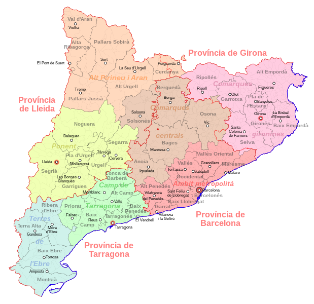
| current | 15:38, 9 August 2007 | | 800 × 775 (1.47 MB) | commons>HansenBCN | == Summary == {{Information |Description={{ca|Mapa de l'organització administrativa de Catalunya: assenyalades en vermell, les províncies; en negre, les comarques; en gris, els municipis. Les comarques s'han colorejat d'acord a les agrupacions fetes al |
File usage
There are no pages that use this file.