File:Carte localisation Île de Montréal - Montréal-Est.svg
Jump to navigation
Jump to search

Size of this PNG preview of this SVG file: 800 × 511 pixels. Other resolutions: 320 × 205 pixels | 640 × 409 pixels | 1,024 × 654 pixels | 1,280 × 818 pixels | 2,560 × 1,636 pixels | 1,563 × 999 pixels.
Original file (SVG file, nominally 1,563 × 999 pixels, file size: 156 KB)
File history
Click on a date/time to view the file as it appeared at that time.
| Date/Time | Thumbnail | Dimensions | User | Comment | |
|---|---|---|---|---|---|
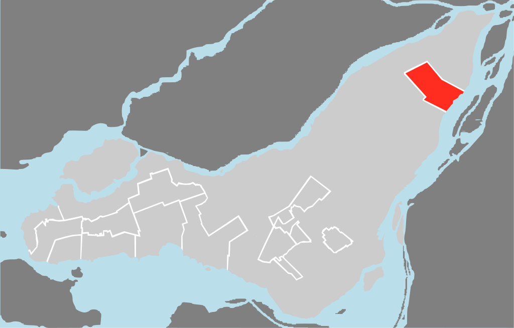
| current | 20:20, 28 November 2009 | | 1,563 × 999 (156 KB) | commons>Adqproductions | {{Information |Description=Localisation de la ville sur l'île de Montréal |Source={{Own}} |Date= |Author=Chicoutimi |Permission=Own work, all rights released (Public domain) |other_versions= }} {{PD-self}} Category:Île de Montréal |
File usage
There are no pages that use this file.