File:Carmarthenshire UK location map.svg
Jump to navigation
Jump to search

Size of this PNG preview of this SVG file: 769 × 600 pixels. Other resolutions: 308 × 240 pixels | 616 × 480 pixels | 985 × 768 pixels | 1,280 × 998 pixels | 2,560 × 1,996 pixels | 1,425 × 1,111 pixels.
Original file (SVG file, nominally 1,425 × 1,111 pixels, file size: 1.29 MB)
File history
Click on a date/time to view the file as it appeared at that time.
| Date/Time | Thumbnail | Dimensions | User | Comment | |
|---|---|---|---|---|---|
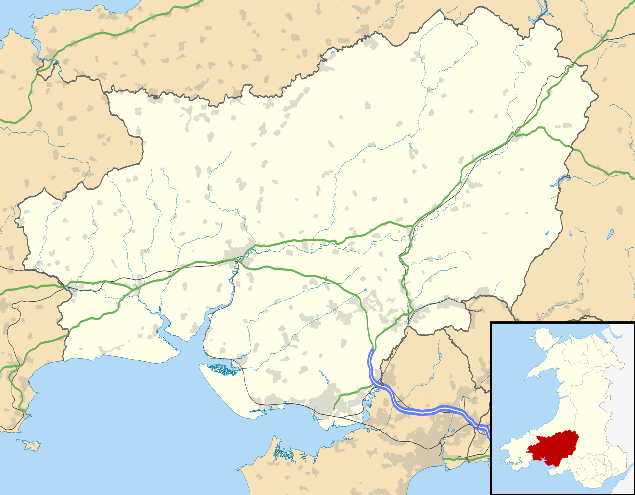
| current | 19:31, 26 September 2010 | | 1,425 × 1,111 (1.29 MB) | commons>Nilfanion | {{Information |Description=Blank map of Carmarthenshire, UK with the following information shown: *Administrative borders *Coastline, lakes and rivers *Roads and railways *Urban areas Equirectangular map projection on WGS 84 datum, |
File usage
There are no pages that use this file.