File:Cape Colony map.png
Jump to navigation
Jump to search
Size of this preview: 725 × 600 pixels. Other resolutions: 290 × 240 pixels | 581 × 480 pixels | 1,000 × 827 pixels.
Original file (1,000 × 827 pixels, file size: 49 KB, MIME type: image/png)
File history
Click on a date/time to view the file as it appeared at that time.
| Date/Time | Thumbnail | Dimensions | User | Comment | |
|---|---|---|---|---|---|
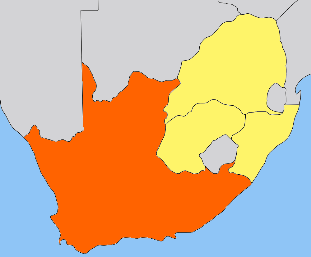
| current | 20:01, 9 May 2006 | | 1,000 × 827 (49 KB) | commons>Dewet | {{Information| |Description=Map of the Cape Colony; traced by hand in Inkscape, recoloured in the GIMP. |Source=Own work |Date=2006-05-09 |Author=Self, based on [[:image:Cape_Colony_map.png|Cape Colony map |
File usage
There are no pages that use this file.