File:Canada British Columbia location map Okanagan.svg
Jump to navigation
Jump to search

Size of this PNG preview of this SVG file: 740 × 600 pixels. Other resolutions: 296 × 240 pixels | 593 × 480 pixels | 948 × 768 pixels | 1,264 × 1,024 pixels | 2,528 × 2,048 pixels | 2,419 × 1,960 pixels.
Original file (SVG file, nominally 2,419 × 1,960 pixels, file size: 1.5 MB)
File history
Click on a date/time to view the file as it appeared at that time.
| Date/Time | Thumbnail | Dimensions | User | Comment | |
|---|---|---|---|---|---|
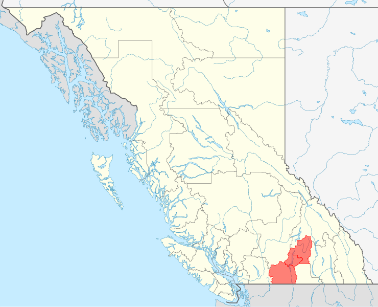
| current | 17:43, 20 December 2009 | | 2,419 × 1,960 (1.5 MB) | commons>Arct | {{Information |Description={{de|Positionskarte von British Columbia, Kanada mit Hervorheben von Okanagan}} Quadratische Plattkarte, N-S-Streckung 170 %. Geographische Begrenzung der Karte: * N: 60.3° N * S: 48.1° |
File usage
There are no pages that use this file.