File:CH-NP 79-80 Bdy Map50.jpg
Jump to navigation
Jump to search
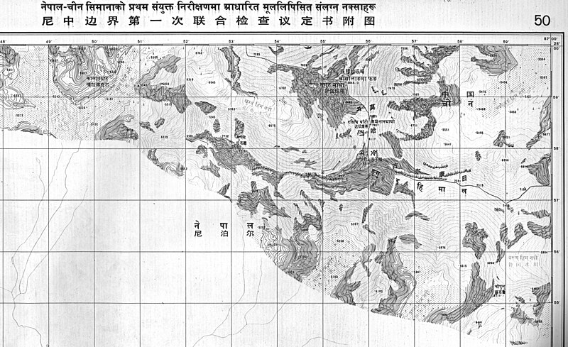
Size of this preview: 800 × 489 pixels. Other resolutions: 320 × 195 pixels | 640 × 391 pixels | 1,024 × 625 pixels | 1,280 × 782 pixels | 3,216 × 1,964 pixels.
Original file (3,216 × 1,964 pixels, file size: 1.11 MB, MIME type: image/jpeg)
File history
Click on a date/time to view the file as it appeared at that time.
| Date/Time | Thumbnail | Dimensions | User | Comment | |
|---|---|---|---|---|---|
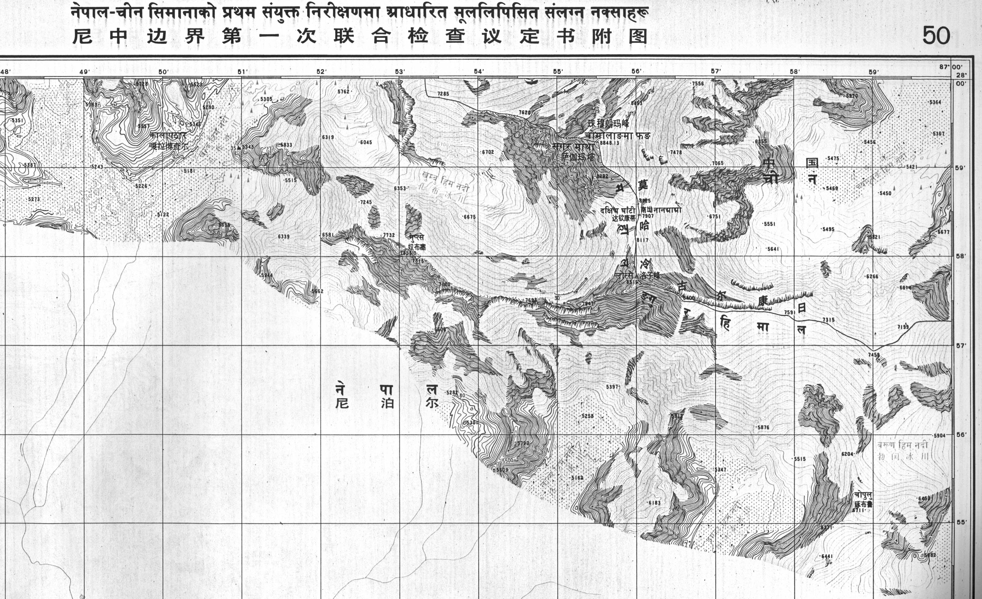
| current | 21:58, 16 November 2011 | | 3,216 × 1,964 (1.11 MB) | commons>DLinth | {{Information |Description ={{en|1=Boundary maps in the public domain published by the Survey of Nepal, sent to the UN}} |Source =Boundary treaty maps held at UN Treaty Office |Author =Survey of Nepal |Date =1980-07-01 |Permis |
File usage
There are no pages that use this file.