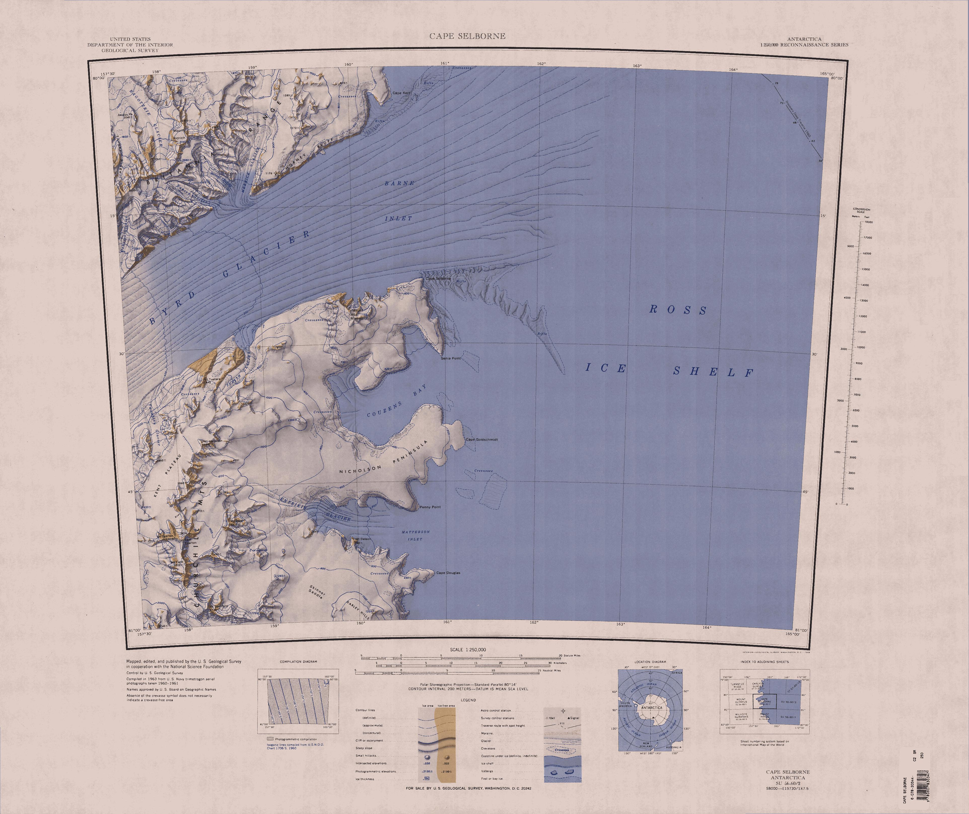
File:C80195s1 Ant.Map Cape Selborne.jpg
Jump to navigation
Jump to search
Size of this preview: 714 × 600 pixels. Other resolutions: 286 × 240 pixels | 572 × 480 pixels | 914 × 768 pixels | 1,219 × 1,024 pixels | 2,438 × 2,048 pixels | 3,848 × 3,232 pixels.
Original file (3,848 × 3,232 pixels, file size: 1.44 MB, MIME type: image/jpeg)
File history
Click on a date/time to view the file as it appeared at that time.
| Date/Time | Thumbnail | Dimensions | User | Comment | |
|---|---|---|---|---|---|
| current | 19:17, 3 April 2005 | | 3,848 × 3,232 (1.44 MB) | commons>Achim Raschka | Map of Antarctica by the United States Antarctic Ressource Center of the US Geological Society. {{PD-US}} Copyrights and Trademarks USGS-authored or produced data and information are in the public domain. While the content of most USGS web pages is in th |
File usage
There are no pages that use this file.