File:Buzzards Bay map.png
Jump to navigation
Jump to search
Size of this preview: 800 × 590 pixels. Other resolutions: 320 × 236 pixels | 640 × 472 pixels | 1,000 × 738 pixels.
Original file (1,000 × 738 pixels, file size: 313 KB, MIME type: image/png)
File history
Click on a date/time to view the file as it appeared at that time.
| Date/Time | Thumbnail | Dimensions | User | Comment | |
|---|---|---|---|---|---|
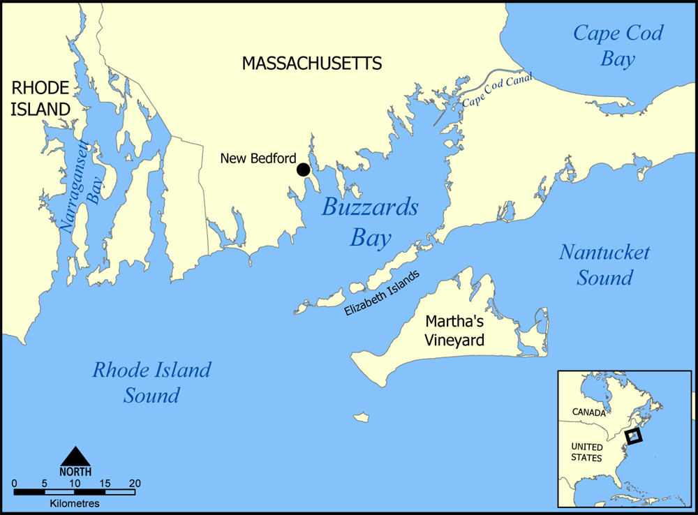
| current | 18:02, 20 July 2005 | | 1,000 × 738 (313 KB) | commons>NormanEinstein | Map of Buzzards Bay off the coast of Massachusetts and Rhode Island, United States. Created by NormanEinstein, July 20, 2005. {{GFDL-self}} Category:Maps of Massachusetts |
File usage
There are no pages that use this file.