File:Buckeye and Main in Ada.jpg
Jump to navigation
Jump to search

Size of this preview: 800 × 450 pixels. Other resolutions: 320 × 180 pixels | 640 × 360 pixels | 1,024 × 576 pixels | 1,280 × 720 pixels | 2,816 × 1,584 pixels.
Original file (2,816 × 1,584 pixels, file size: 956 KB, MIME type: image/jpeg)
| Camera location | | View this and other nearby images on: OpenStreetMap |
|---|
| Description |
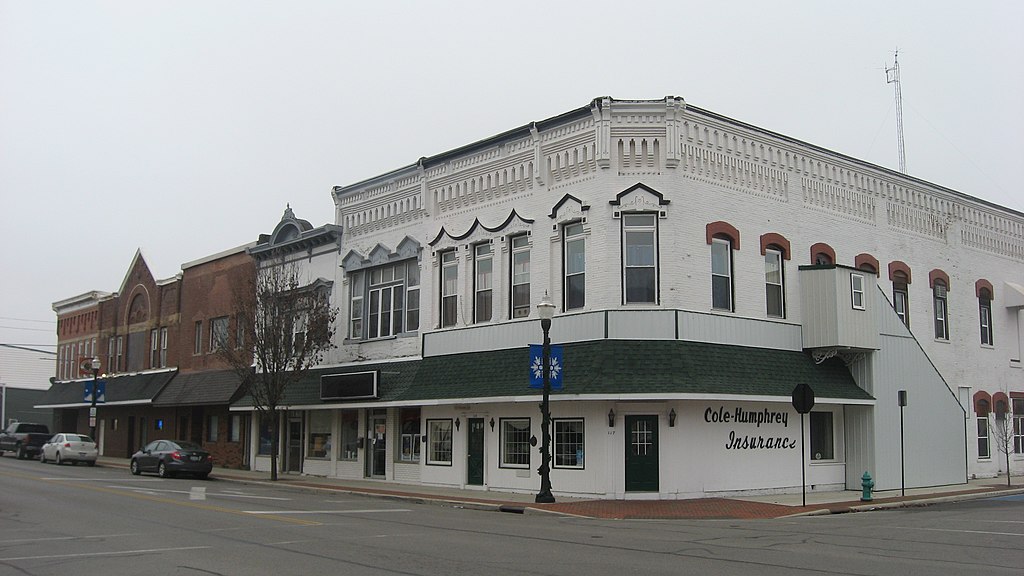
English: Buildings on the southwestern corner of the junction of Main (State Route 235) and Buckeye Streets in Ada, Ohio, United States. |
||
| Date | Taken on 17 December 2012 | ||
| Source | Own work | ||
| Author | Nyttend | ||
| Permission (Reusing this file) |
|
| Annotations | This image is annotated: View the annotations at Commons |
File history
Click on a date/time to view the file as it appeared at that time.
| Date/Time | Thumbnail | Dimensions | User | Comment | |
|---|---|---|---|---|---|
| current | 13:45, 21 December 2012 | | 2,816 × 1,584 (956 KB) | commons>Nyttend | {{Location|40|46|16|N|83|49|24|W}} {{Information |Description={{en|Buildings on the southwestern corner of the junction of Main ({{w|Ohio State Route 235|State Route 235}}) and Buckeye Streets in {{w|Ada, Ohio|Ada}}, {{w|Ohio}}, {{w|United States}}.}} ... |
File usage
There are no pages that use this file.