File:Bruce—Grey—Owen Sound.png
Jump to navigation
Jump to search
Size of this preview: 476 × 599 pixels. Other resolutions: 191 × 240 pixels | 381 × 480 pixels | 682 × 858 pixels.
Original file (682 × 858 pixels, file size: 79 KB, MIME type: image/png)
Summary
| Description |
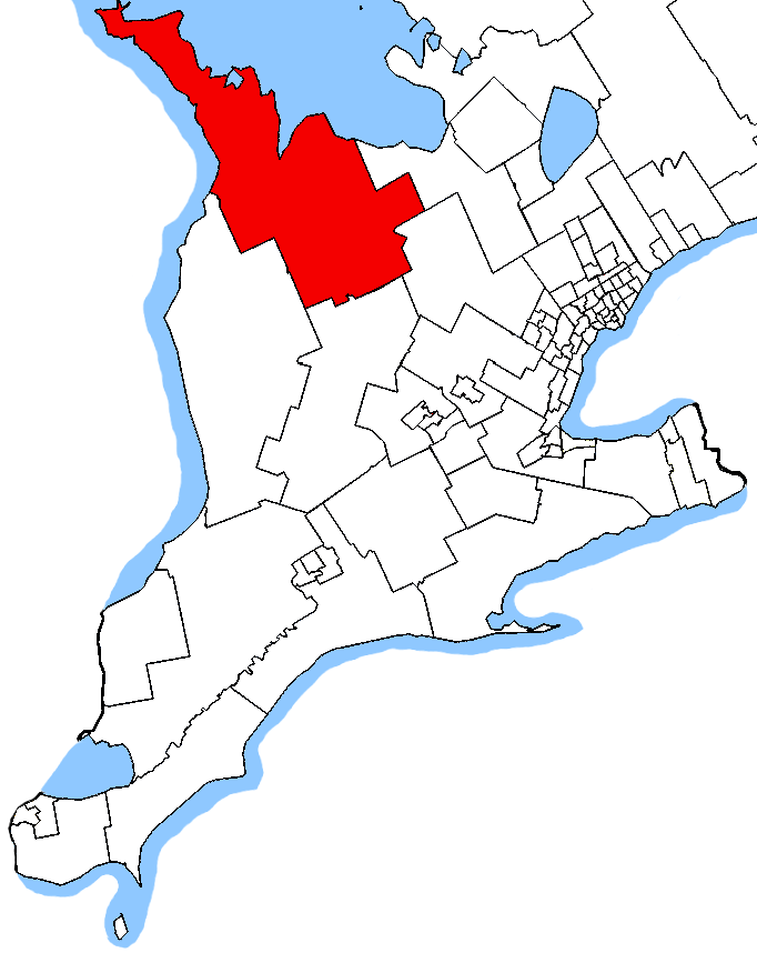
English: Map of the Bruce—Grey—Owen Sound electoral district. Based on Earl Andrew's maps, created by SimonP. |
| Date | 23 October 2005 (original upload date) |
| Source | Own work |
| Author | SimonP at English Wikipedia |
Licensing
| This work has been released into the public domain by its author, SimonP at English Wikipedia. This applies worldwide. In some countries this may not be legally possible; if so: SimonP grants anyone the right to use this work for any purpose, without any conditions, unless such conditions are required by law. |
Original upload log
The original description page was here. All following user names refer to en.wikipedia.
- 2005-10-23 02:20 SimonP 1046×1215 (34272 bytes) Map of the [[Bruce—Grey—Owen Sound]] electoral district. Based on [[User:Earl Andrew|]]'s [[User:Earl Andrew/maps|maps]], created by ~~~.
File history
Click on a date/time to view the file as it appeared at that time.
| Date/Time | Thumbnail | Dimensions | User | Comment | |
|---|---|---|---|---|---|
| current | 04:50, 24 October 2015 | | 682 × 858 (79 KB) | commons>Djvarley | New map to reflect new boundaries of electoral districts after the 42nd Canadian general election on October 19, 2015. The boundaries of Bruce—Grey—Owen Sound itself were not changed. |
File usage
There are no pages that use this file.