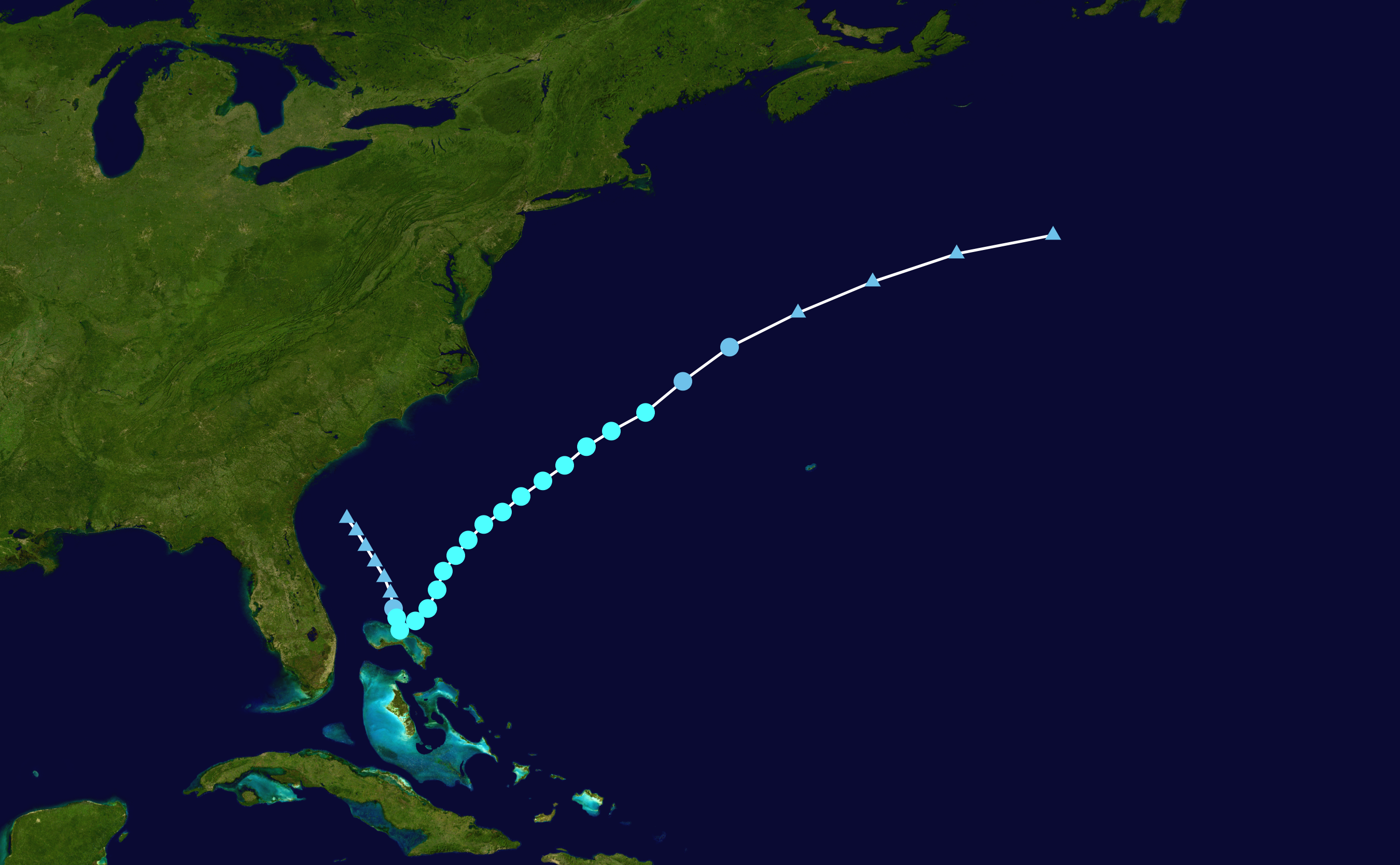
File:Bret 2011 path.png
Jump to navigation
Jump to search
Size of this preview: 800 × 494 pixels. Other resolutions: 320 × 198 pixels | 640 × 395 pixels | 1,024 × 633 pixels | 1,280 × 791 pixels | 2,700 × 1,668 pixels.
Original file (2,700 × 1,668 pixels, file size: 2.96 MB, MIME type: image/png)
File history
Click on a date/time to view the file as it appeared at that time.
| Date/Time | Thumbnail | Dimensions | User | Comment | |
|---|---|---|---|---|---|
| current | 17:11, 8 March 2024 | | 2,700 × 1,668 (2.96 MB) | commons>2003 LN6 | {{WPTC track map | author = 2003 LN6 | name = Tropical Storm Bret | article = Tropical Storm Bret (2011) | season = 2011 Atlantic hurricane season |colors=new | start = 2011-07-16 | end = 2011-07-23 | source=NHC | catname=Tropical Storm Bret (2011) | code=./track --format atcf --input ../tracks-data/2011/btk/bal022011.dat --output ~/public-html/wptc-maps/Bret_2011_track.png --extra 1 AL022011, BRET, 29, 20110716, 0600, , LO, 30.7N, 79.7W, 20, 1014, 0, 0,... |
File usage
There are no pages that use this file.