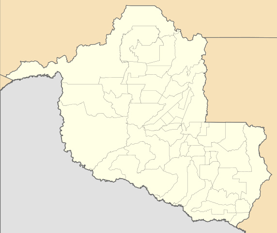
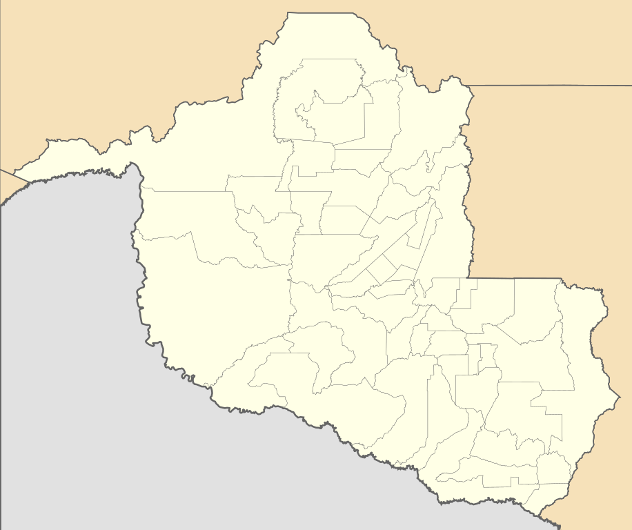
File:Brazil Rondonia location map.svg
Jump to navigation
Jump to search

Size of this PNG preview of this SVG file: 715 × 600 pixels. Other resolutions: 286 × 240 pixels | 572 × 480 pixels | 916 × 768 pixels | 1,221 × 1,024 pixels | 2,442 × 2,048 pixels | 819 × 687 pixels.
Original file (SVG file, nominally 819 × 687 pixels, file size: 331 KB)
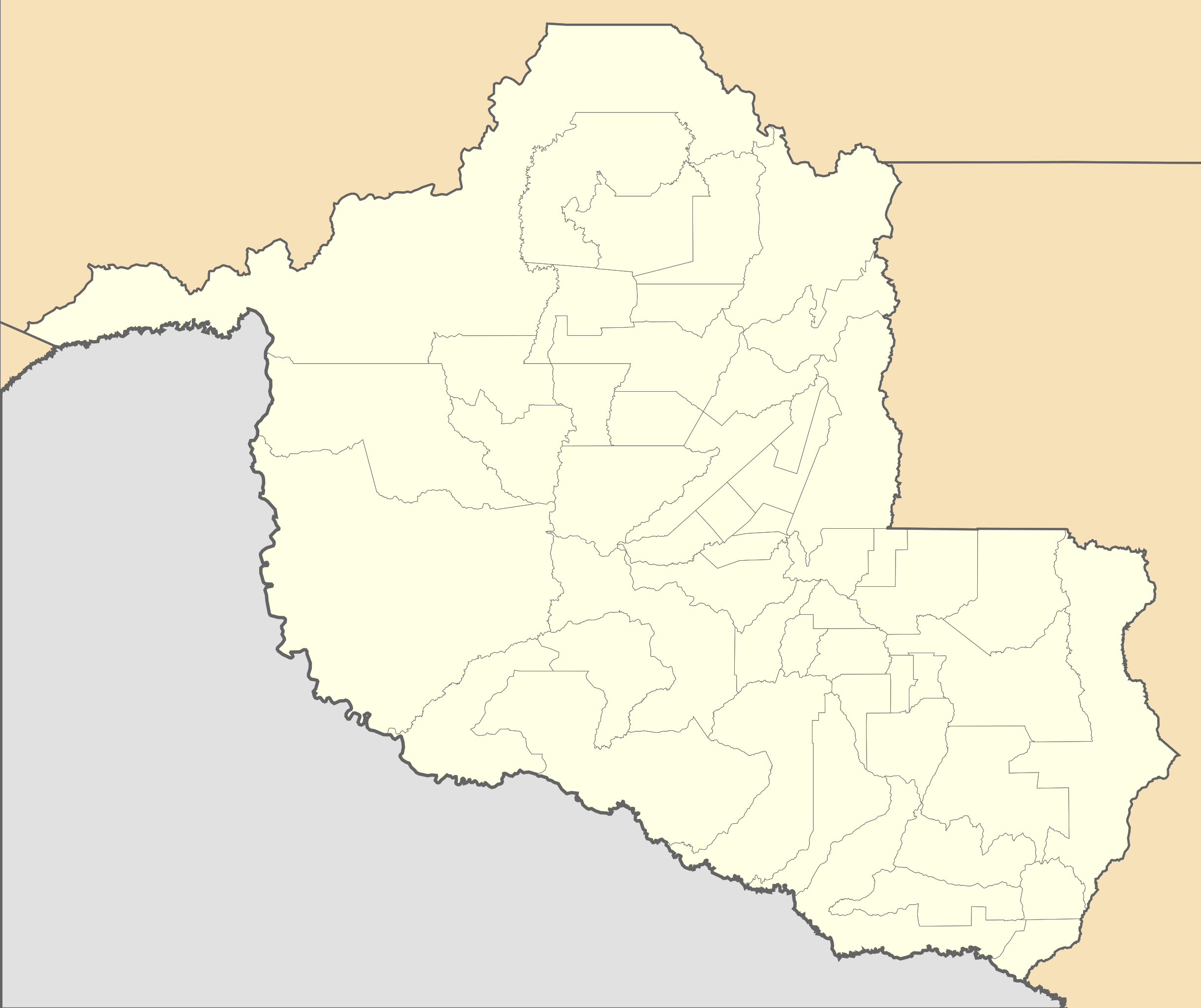
File history
Click on a date/time to view the file as it appeared at that time.
| Date/Time | Thumbnail | Dimensions | User | Comment | |
|---|---|---|---|---|---|
| current | 13:04, 2 February 2020 | | 819 × 687 (331 KB) | commons>Milenioscuro | updated limits of municipalities of Costa Marques, São Francisco do Guaporé, Seringueiras, São Miguel do Guaporé and Nova Brasilândia d'Oeste acording to IBGE data |
File usage
There are no pages that use this file.