File:Brazil Municipalities.png
Jump to navigation
Jump to search

Size of this preview: 676 × 600 pixels. Other resolutions: 271 × 240 pixels | 541 × 480 pixels | 866 × 768 pixels | 1,155 × 1,024 pixels | 1,627 × 1,443 pixels.
Original file (1,627 × 1,443 pixels, file size: 207 KB, MIME type: image/png)

|
File:Brazil Municipalities.svg is a vector version of this file. It should be used in place of this PNG file when not inferior.
File:Brazil Municipalities.png → File:Brazil Municipalities.svg
For more information, see Help:SVG. |
 |
| Description |
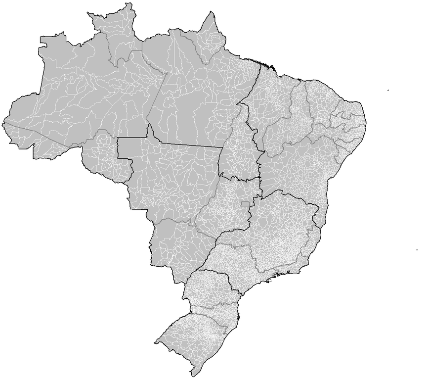
Português: Map of the municipalities of Brazil. |
||
| Date | |||
| Source | Created using MapInfo Professional v8.5 and various mapping resources. | ||
| Author | Rarelibra | ||
| Permission (Reusing this file) |
|
||
| Other versions | Derivative works of this file: Brazil Metropolitan Regions.png |
File history
Click on a date/time to view the file as it appeared at that time.
| Date/Time | Thumbnail | Dimensions | User | Comment | |
|---|---|---|---|---|---|
| current | 04:18, 18 March 2020 | | 1,627 × 1,443 (207 KB) | commons>ContaDeletada1993 | Brazilian Federal Dis cannot be divided into municipalities. |
File usage
There are no pages that use this file.