File:Boko Haram insurgency map.png
Jump to navigation
Jump to search

Size of this preview: 779 × 599 pixels. Other resolutions: 312 × 240 pixels | 624 × 480 pixels | 998 × 768 pixels | 1,280 × 985 pixels | 1,600 × 1,231 pixels.
Original file (1,600 × 1,231 pixels, file size: 395 KB, MIME type: image/png)
File history
Click on a date/time to view the file as it appeared at that time.
| Date/Time | Thumbnail | Dimensions | User | Comment | |
|---|---|---|---|---|---|
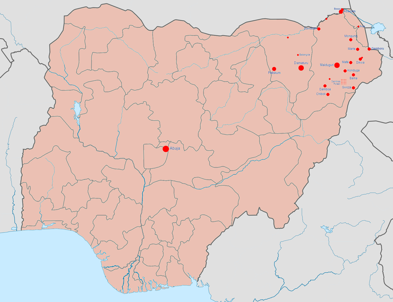
| current | 07:08, 23 January 2017 | | 1,600 × 1,231 (395 KB) | commons>BlueHypercane761 | 1-22-2017 Update. The Nigerian Army and its allies finally annihilated Boko Haram in its last camp in Sambisa Forest (its last known stronghold), on December 24, 2016, reducing Boko Haram to a weakened, insurgent group. |
File usage
There are no pages that use this file.