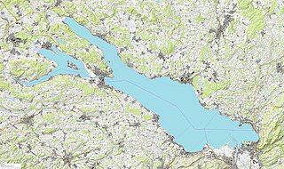
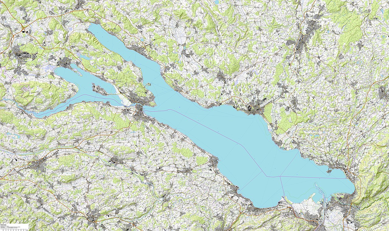
File:Bodensee topografische Karte.jpg
Jump to navigation
Jump to search

Size of this preview: 800 × 476 pixels. Other resolutions: 320 × 190 pixels | 640 × 381 pixels | 1,024 × 609 pixels | 1,280 × 761 pixels | 2,560 × 1,522 pixels | 12,260 × 7,290 pixels.
Original file (12,260 × 7,290 pixels, file size: 51.34 MB, MIME type: image/jpeg)
File history
Click on a date/time to view the file as it appeared at that time.
| Date/Time | Thumbnail | Dimensions | User | Comment | |
|---|---|---|---|---|---|
| current | 10:17, 25 October 2022 | | 12,260 × 7,290 (51.34 MB) | commons>Bernhard Uff dem Sand | Uploaded own work with UploadWizard |
File usage
There are no pages that use this file.