File:Blank Map Chhatisgarh state and districts.png
Jump to navigation
Jump to search
Size of this preview: 403 × 600 pixels. Other resolutions: 161 × 240 pixels | 451 × 671 pixels.
Original file (451 × 671 pixels, file size: 55 KB, MIME type: image/png)
File history
Click on a date/time to view the file as it appeared at that time.
| Date/Time | Thumbnail | Dimensions | User | Comment | |
|---|---|---|---|---|---|
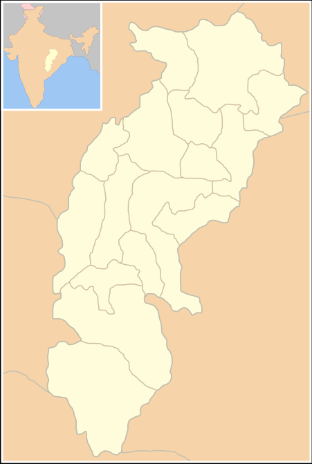
| current | 14:02, 1 January 2006 | | 451 × 671 (55 KB) | commons>Miljoshi | Blank Map: Chhattisgarh State (India) with district boundries - Self Made - w:User:Miljoshi - Jan 2006 '''Note: co-ordinates are estimated, and may not be exactly accurate.''' Category:Chhattisgarh district maps |
File usage
There are no pages that use this file.