File:Blank-Map-Iran-With-Water-Bodies.PNG
Jump to navigation
Jump to search

Size of this preview: 652 × 600 pixels. Other resolutions: 261 × 240 pixels | 522 × 480 pixels | 895 × 823 pixels.
Original file (895 × 823 pixels, file size: 28 KB, MIME type: image/png)
Summary
| Description |
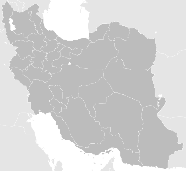
English: Blank Map of the territory claimed by Iran With Water Bodies and Neighbors فارسی: نقشه خالی ایران به همراه سرزمینهای آبی و کشورهای همسایه |
| Date | |
| Source | self-made adding water bodies and neighbors and applying some corrections and updates to a previous version Image:Blank-Map-Iran.PNG, which in turn was a corrected and updated version of Image:BlankMap-Iran.PNG created and uploaded by Shinas |
| Author | Siamax |
Licensing
| This work has been released into the public domain by its author, I, Siamax. This applies worldwide. In some countries this may not be legally possible; if so: I, Siamax grants anyone the right to use this work for any purpose, without any conditions, unless such conditions are required by law. |
File history
Click on a date/time to view the file as it appeared at that time.
| Date/Time | Thumbnail | Dimensions | User | Comment | |
|---|---|---|---|---|---|
| current | 11:33, 23 June 2013 | | 895 × 823 (28 KB) | commons>BasilLeaf | بروزرسانی استانهای یزد و خراسان جنوبی |
File usage
There are no pages that use this file.