File:BlaenauFfestiniogMap.png
Jump to navigation
Jump to search
Size of this preview: 800 × 455 pixels. Other resolutions: 320 × 182 pixels | 640 × 364 pixels | 1,024 × 583 pixels | 1,510 × 859 pixels.
Original file (1,510 × 859 pixels, file size: 145 KB, MIME type: image/png)
File history
Click on a date/time to view the file as it appeared at that time.
| Date/Time | Thumbnail | Dimensions | User | Comment | |
|---|---|---|---|---|---|
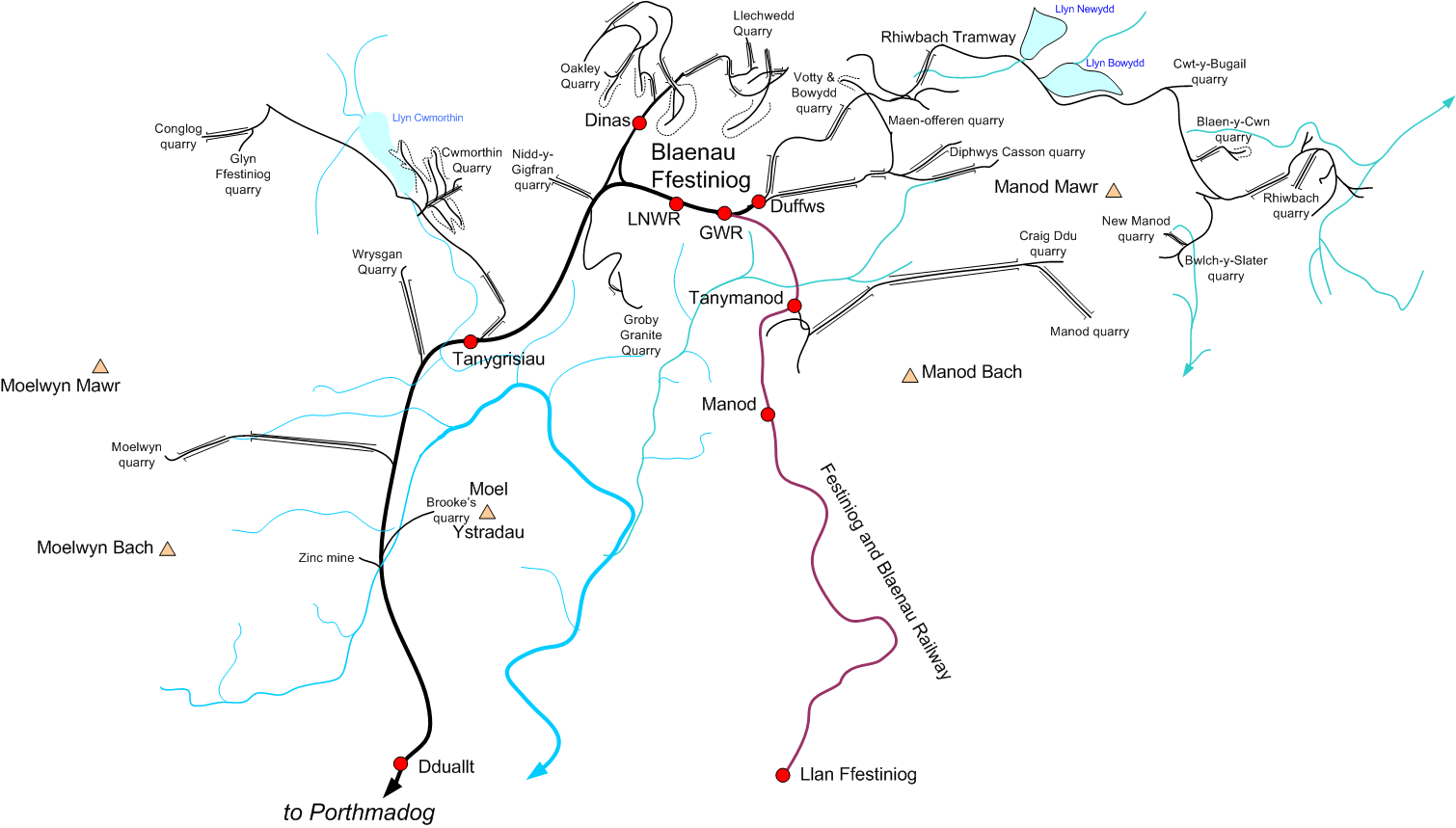
| current | 18:12, 8 December 2006 | | 1,510 × 859 (145 KB) | commons>Gwernol | {{Information |Description=Map of the 2ft gauge railways connected to the Ffestiniog Railway at Blaenau Ffestinog |Source=Own work |Date=December 8, 2006 |Author=Dan Crow |Permission=GFDL, own work |other_versions= }} |
File usage
There are no pages that use this file.