File:Besancon map with districts numbers.svg
Jump to navigation
Jump to search

Size of this PNG preview of this SVG file: 511 × 600 pixels. Other resolutions: 204 × 240 pixels | 409 × 480 pixels | 654 × 768 pixels | 872 × 1,024 pixels | 1,744 × 2,048 pixels | 701 × 823 pixels.
Original file (SVG file, nominally 701 × 823 pixels, file size: 2.46 MB)
File history
Click on a date/time to view the file as it appeared at that time.
| Date/Time | Thumbnail | Dimensions | User | Comment | |
|---|---|---|---|---|---|
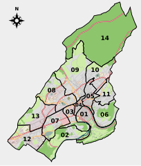
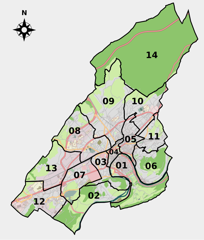
| current | 10:28, 20 May 2010 | | 701 × 823 (2.46 MB) | commons>Pethrus | {{Information |Description={{fr|Carte de Besançon comprenant la délimitation des 14 grands quartiers de la ville. Les limites des quartiers sont tracées sur un calque séparé et peuvent donc être facilement supprimée, modifiées ou coloriées. Les c |
File usage
There are no pages that use this file.