File:Barnsley UK ward map 2010 (blank).svg
Jump to navigation
Jump to search

Size of this PNG preview of this SVG file: 800 × 551 pixels. Other resolutions: 320 × 220 pixels | 640 × 441 pixels | 1,024 × 705 pixels | 1,280 × 881 pixels | 2,560 × 1,762 pixels | 1,425 × 981 pixels.
Original file (SVG file, nominally 1,425 × 981 pixels, file size: 419 KB)
.svg)
File history
Click on a date/time to view the file as it appeared at that time.
| Date/Time | Thumbnail | Dimensions | User | Comment | |
|---|---|---|---|---|---|
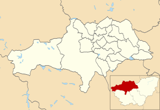
| current | 23:44, 24 April 2011 | | 1,425 × 981 (419 KB) | commons>Nilfanion | {{Information |Description=Map of Barnsley, South Yorkshire, UK with electoral wards shown. Equirectangular map projection on WGS 84 datum, with N/S stretched 165% Geographic limits: *West: 1.85W *East: 1.25W *North: 53.65N *South: 53.40N |Source=[[w:Or |
File usage
There are no pages that use this file.
.svg)