File:Barnsley UK local election 2010 map.svg
Jump to navigation
Jump to search

Size of this PNG preview of this SVG file: 800 × 551 pixels. Other resolutions: 320 × 220 pixels | 640 × 441 pixels | 1,024 × 705 pixels | 1,280 × 881 pixels | 2,560 × 1,762 pixels | 1,425 × 981 pixels.
Original file (SVG file, nominally 1,425 × 981 pixels, file size: 419 KB)
File history
Click on a date/time to view the file as it appeared at that time.
| Date/Time | Thumbnail | Dimensions | User | Comment | |
|---|---|---|---|---|---|
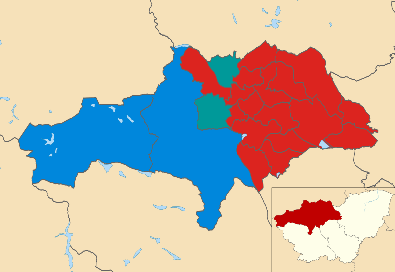
| current | 18:05, 21 June 2011 | | 1,425 × 981 (419 KB) | commons>Davewild | {{Information |Description=Map of Barnsley, South Yorkshire, UK showing the results of the 2010 local election. Colours: {{legend|#dc241f|Labour}} {{legend|#009999|Barnsley Independent Group}} {{legend|#0087dc|Conservative}} |Source=*[[:File:Barnsley_UK_ |
File usage
There are no pages that use this file.