File:Bangladesh Khulna division location map.svg
Jump to navigation
Jump to search

Size of this PNG preview of this SVG file: 400 × 599 pixels. Other resolutions: 160 × 240 pixels | 320 × 480 pixels | 512 × 768 pixels | 683 × 1,024 pixels | 1,367 × 2,048 pixels | 909 × 1,362 pixels.
Original file (SVG file, nominally 909 × 1,362 pixels, file size: 800 KB)
Summary
| Description |
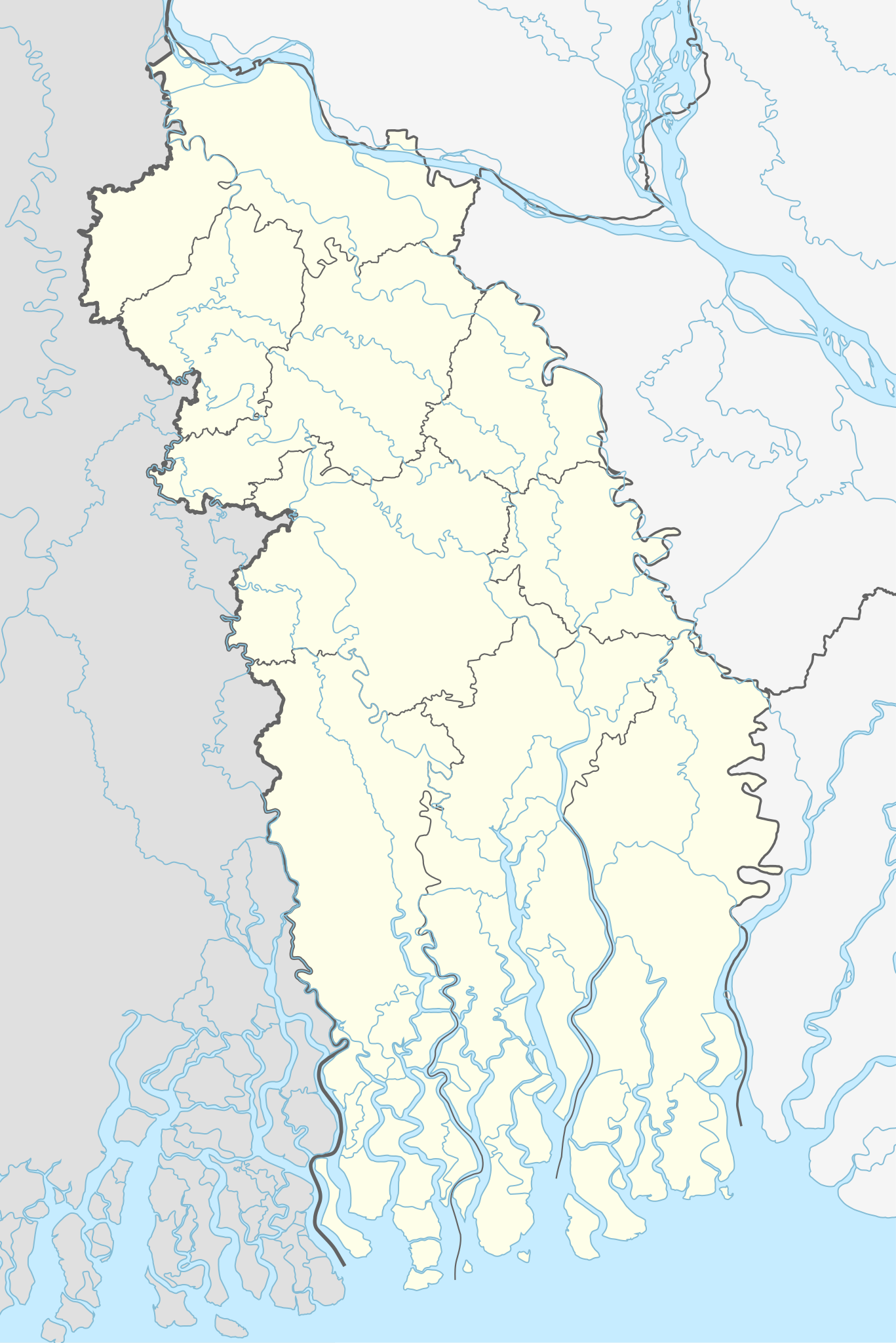
English: Location map of Khulna division, Bangladesh. Boundaries: 88.55E 90.06E 21.55N 24.4N |
| Date | |
| Source | Derivative of File:Bangladesh adm location map.svg |
| Author | Own work based on User:NNW |
Licensing
This file is licensed under the Creative Commons Attribution-Share Alike 3.0 Unported license.
- You are free:
- to share – to copy, distribute and transmit the work
- to remix – to adapt the work
- Under the following conditions:
- attribution – You must give appropriate credit, provide a link to the license, and indicate if changes were made. You may do so in any reasonable manner, but not in any way that suggests the licensor endorses you or your use.
- share alike – If you remix, transform, or build upon the material, you must distribute your contributions under the same or compatible license as the original.
File history
Click on a date/time to view the file as it appeared at that time.
| Date/Time | Thumbnail | Dimensions | User | Comment | |
|---|---|---|---|---|---|
| current | 06:04, 14 November 2023 | | 909 × 1,362 (800 KB) | commons>C1MM | Fixed boundaries |
File usage
There are no pages that use this file.