File:BahamasOMC.png
Jump to navigation
Jump to search
Size of this preview: 597 × 600 pixels. Other resolutions: 239 × 240 pixels | 478 × 480 pixels | 927 × 931 pixels.
Original file (927 × 931 pixels, file size: 61 KB, MIME type: image/png)
File history
Click on a date/time to view the file as it appeared at that time.
| Date/Time | Thumbnail | Dimensions | User | Comment | |
|---|---|---|---|---|---|
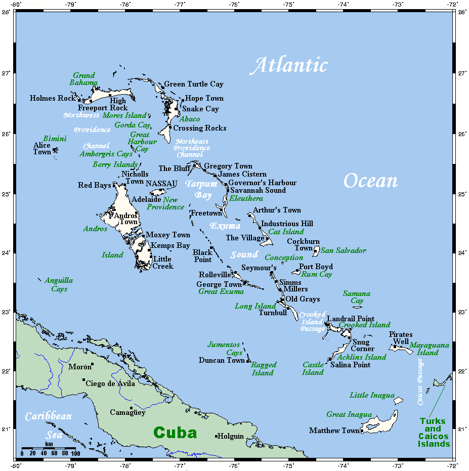
| current | 17:23, 12 December 2010 | | 927 × 931 (61 KB) | commons>Urdangaray | {{Information |Description={{en|<nowiki><math>Insert non-formatted text here</math>en:Media:Example.ogg</nowiki>== Summary == A map showing the Bahamas' cities and main towns. This map's source is [http://www.aquarius.ifm-geomar.de/ here], with the |
File usage
There are no pages that use this file.